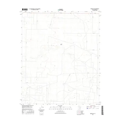
2016 Map of Morton SW
USGS Topo · Published 2016About this map
Sulphur Draw meanders through the central landscape of this West Texas region, defining a subtle drainage pattern across the high plains of Cochran County. This 2016 survey reflects a landscape shaped by large-scale agricultural and ranching divisions, where a strictly rectangular grid of country roads facilitates movement between vast land parcels. The map depicts a network of thoroughfares including FM 769, Co RD 41, and Co RD 95, illustrating the persistent layout of rural infrastructure in the Llano Estacado. Small depressions and wetlands are scattered throughout the quadrangle, indicative of the playa lake systems characteristic of this semi-arid environment. The lack of concentrated settlements highlights the sparse, land-intensive character of the local economy during this era.
Find a feature on this map
11 named features on this map. Tap any name to fly to it.
Don’t see what you’re looking for? This feature index may not catch every label — zoom into the map to look around manually.
Map Details
Editions of this 2016 Morton SW Map
This is the sole edition of this map. No revisions or reprints were ever made.
Other maps of this area

1954 · Brownfield
USGS Topo · 1:250,000

1958 · Brownfield
USGS Topo · 1:250,000

1962 · Brownfield
USGS Topo · 1:250,000

1969 · Lehman
USGS Topo · 1:24,000

1970 · Bronco NE
USGS Topo · 1:24,000

1970 · Bledsoe
USGS Topo · 1:24,000

1970 · Morton SW
USGS Topo · 1:24,000

1970 · Morton NW
USGS Topo · 1:24,000

1970 · Bledsoe NE
USGS Topo · 1:24,000

1971 · Schooler Ranch
USGS Topo · 1:24,000