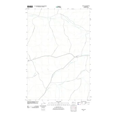
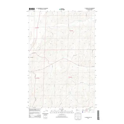
1975 Map of Moscow West
USGS Topo · Published 1977About this map
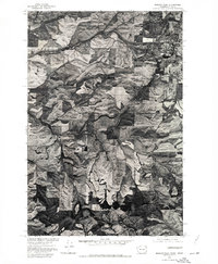
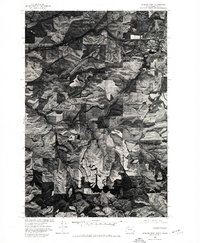
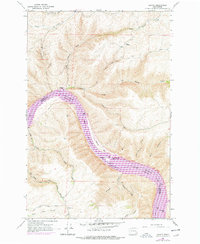
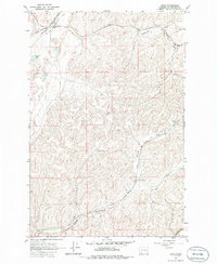
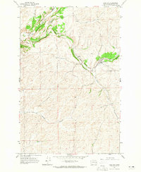
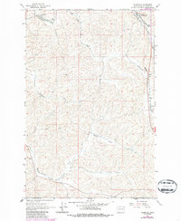
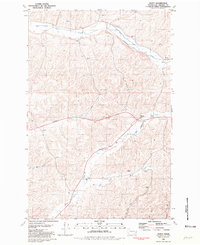
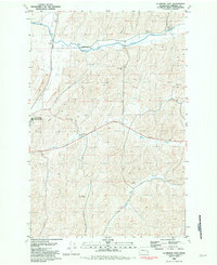
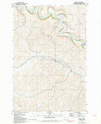
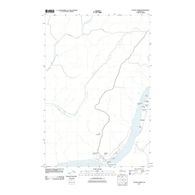
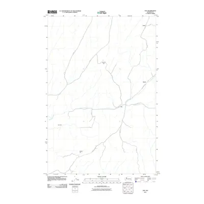
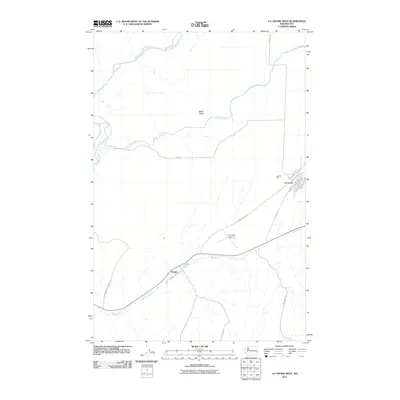
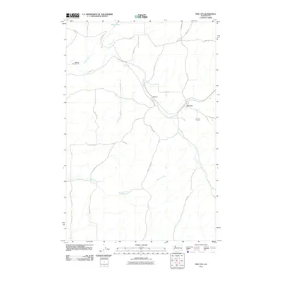
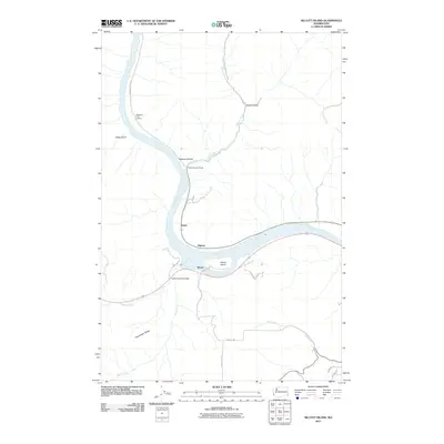
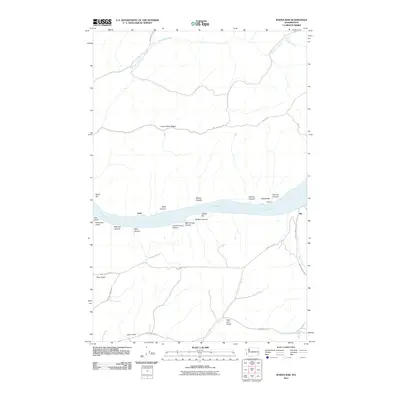
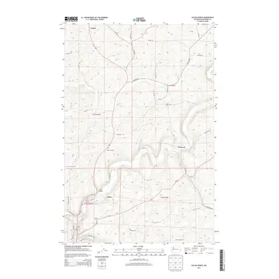
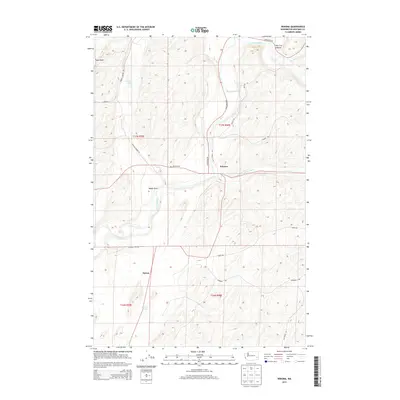
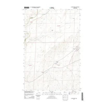
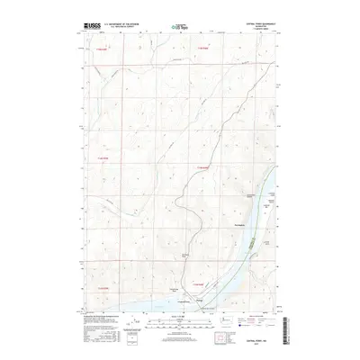
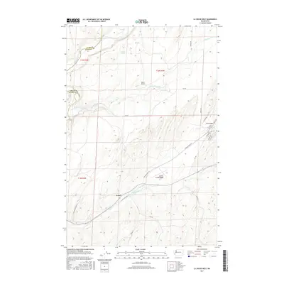
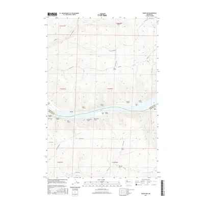
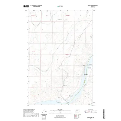
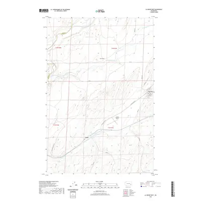
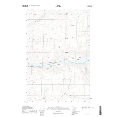
Moscow anchors the eastern edge of this 1975 orthophotoquad, where the city's residential and commercial grid transitions into the rolling agricultural lands of the Palouse. This aerial survey, produced in cooperation with the Soil Conservation Service, captures the landscape just as the Pullman-Moscow Regional Airport was serving as a vital link between the neighboring university towns. The drainage of Paradise Creek winds westward through the wheat fields, providing a natural corridor for the roads and infrastructure connecting the region. To the south, the prominence of Bald Butte stands out against the patchwork of tilled fields, illustrating the distinct topography that has long defined the borderlands between Washington and Idaho. This specific imagery provides a clear look at land use and farm boundaries before the late-twentieth-century expansion of the city's western outskirts.
Find a feature on this map
4 named features on this map. Tap any name to fly to it.
Don’t see what you’re looking for? This feature index may not catch every label — zoom into the map to look around manually.
Map Details
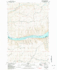
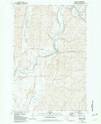
Editions of this 1975 Moscow West Map
2 editions found
Historical Maps of Pullman Through Time
173 maps found
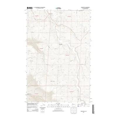
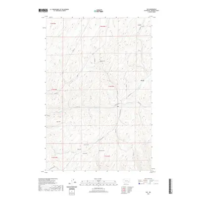
1950 Hay
Whitman County, WA
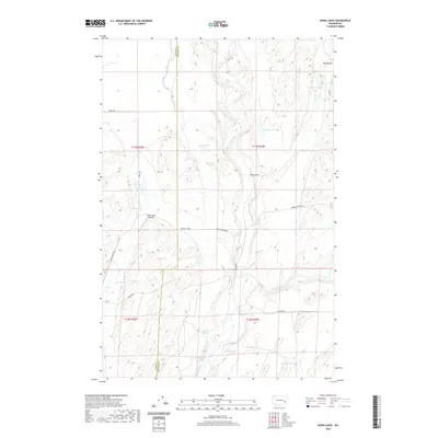
1950 La Crosse
Whitman County, WA

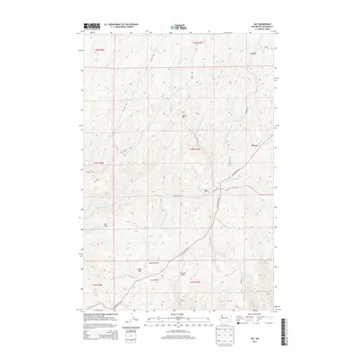
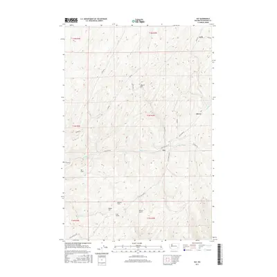
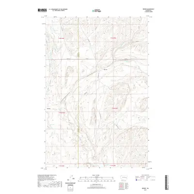
1952 Hay
Whitman County, WA

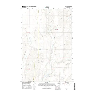
1952 La Crosse
Whitman County, WA
1964 Almota
Whitman County, WA
1964 Colfax North
Whitman County, WA
1964 Colfax South
Whitman County, WA

1964 Diamond
Whitman County, WA
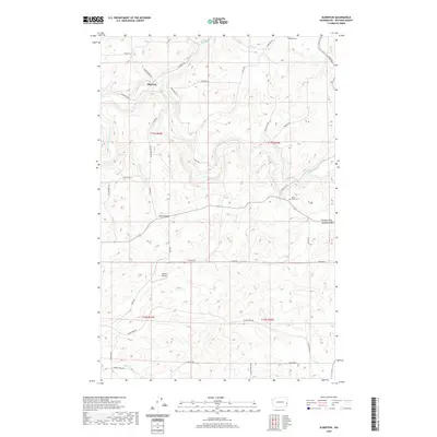
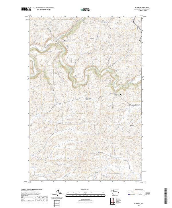
1964 Elberton
Whitman County, WA
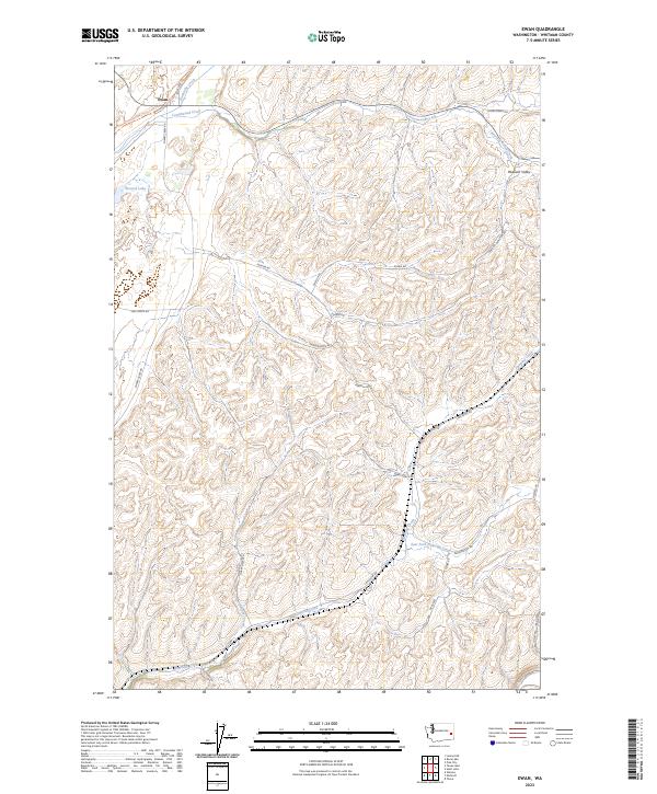
1964 Ewan
Whitman County, WA
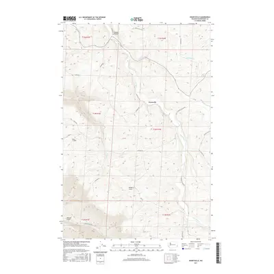
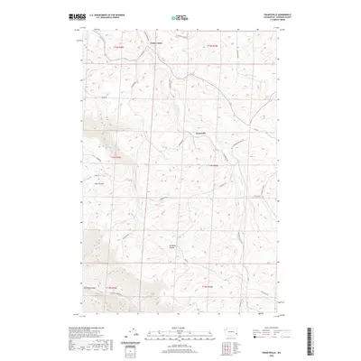
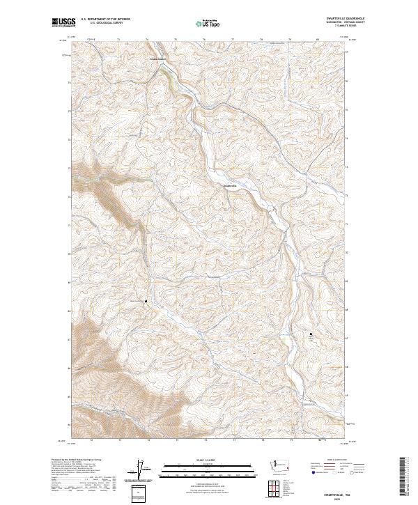
1964 Ewartsville
Whitman County, WA
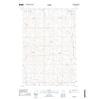
1964 Lamont NE
Whitman County, WA
1964 Lamont NW
Whitman County, WA
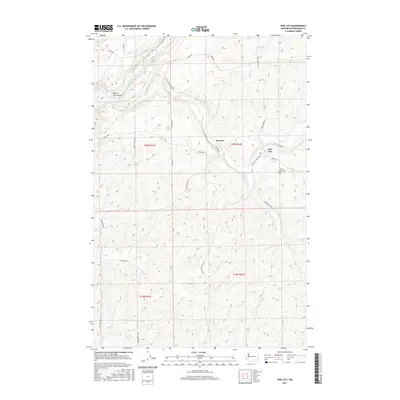
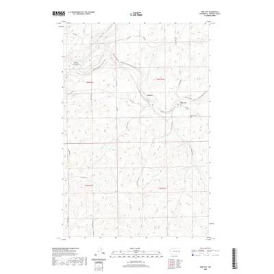
1964 Pine City
Whitman County, WA
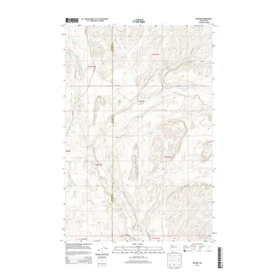
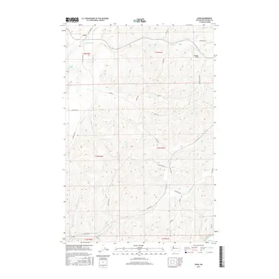
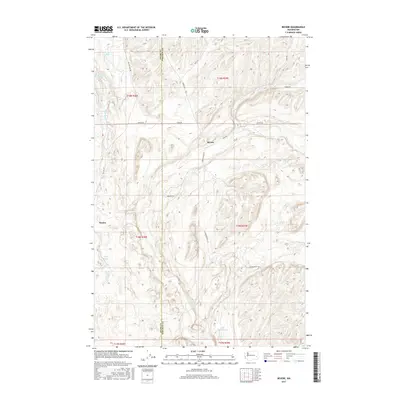
1964 Revere
Whitman County, WA
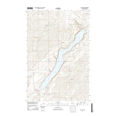
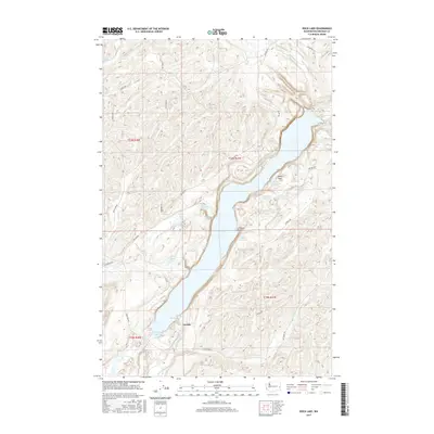
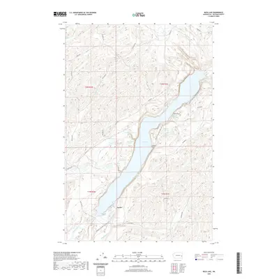
1964 Rock Lake
Whitman County, WA
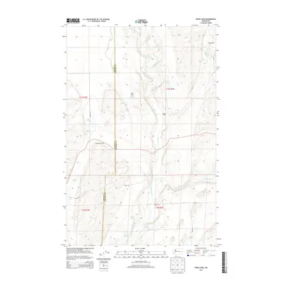
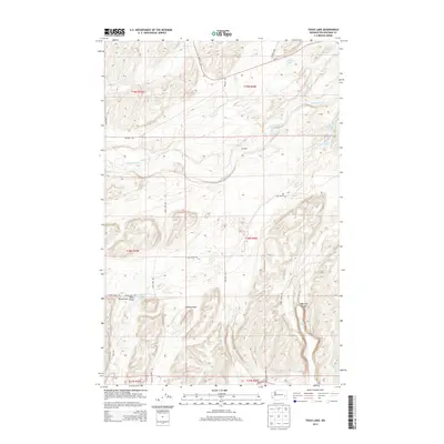
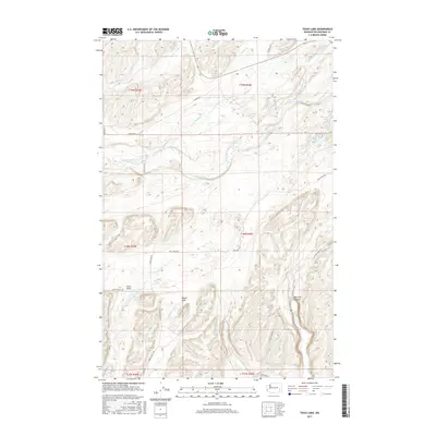
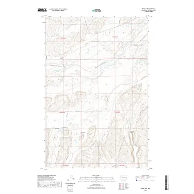
1964 Texas Lake
Whitman County, WA
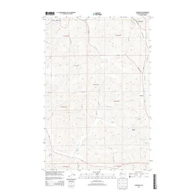
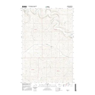
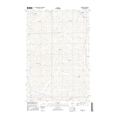
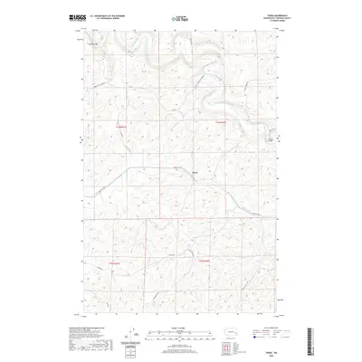
1964 Thornton
Whitman County, WA
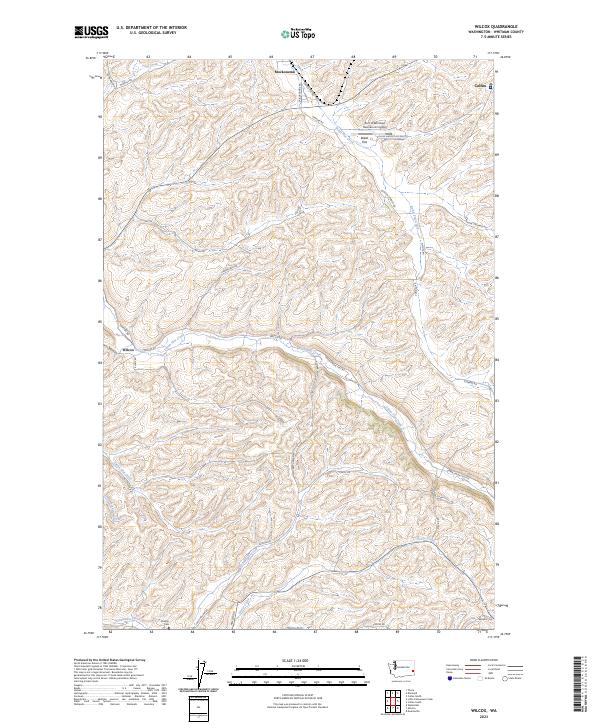
1964 Wilcox
Whitman County, WA
1971 Silcott
Whitman County, WA
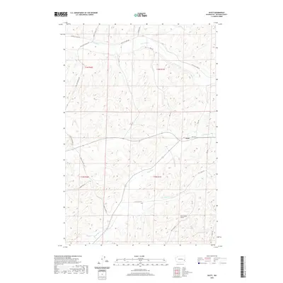
1975 Moscow West
Whitman County, WA
1981 Central Ferry
Whitman County, WA
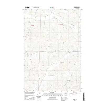
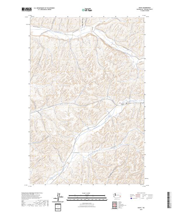
1981 Dusty
Whitman County, WA
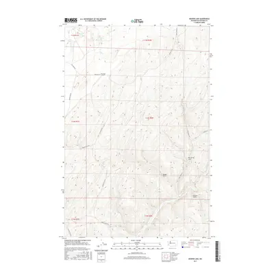
1981 Hay
Whitman County, WA
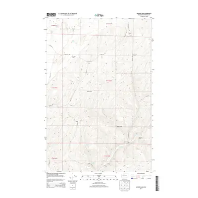
1981 Honn Lakes
Whitman County, WA
1981 Hooper Lake
Whitman County, WA
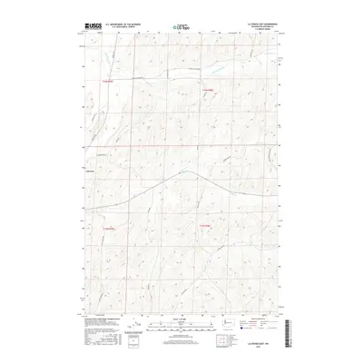
1981 La Crosse East
Whitman County, WA
1981 La Crosse West
Whitman County, WA
1981 Little Penawawa Creek
Whitman County, WA
1981 Palouse Falls
Whitman County, WA
1981 Thera
Whitman County, WA
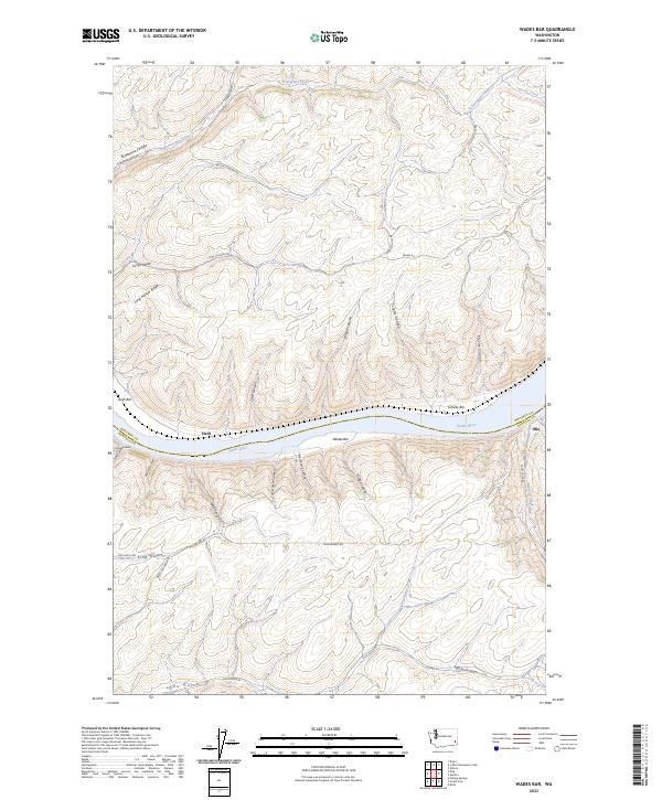
1981 Wades Bar
Whitman County, WA
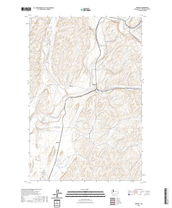
1981 Winona
Whitman County, WA
2011 Almota
Whitman County, WA
2011 Central Ferry
Whitman County, WA
2011 Colfax North
Whitman County, WA
2011 Colfax South
Whitman County, WA
2011 Diamond
Whitman County, WA
2011 Dusty
Whitman County, WA
2011 Elberton
Whitman County, WA
2011 Ewan
Whitman County, WA
2011 Ewartsville
Whitman County, WA
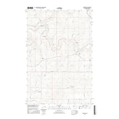
2011 Hay
Whitman County, WA
2011 Honn Lakes
Whitman County, WA
2011 Hooper Lake
Whitman County, WA
2011 La Crosse East
Whitman County, WA
2011 La Crosse West
Whitman County, WA
2011 Lamont NE
Whitman County, WA
2011 Little Penawawa Creek
Whitman County, WA
2011 Palouse Falls
Whitman County, WA
2011 Pine City
Whitman County, WA
2011 Revere
Whitman County, WA
2011 Rock Lake
Whitman County, WA
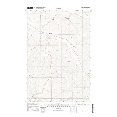
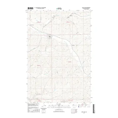
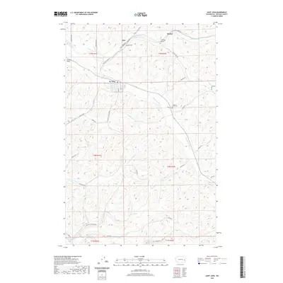
2011 Saint John
Whitman County, WA
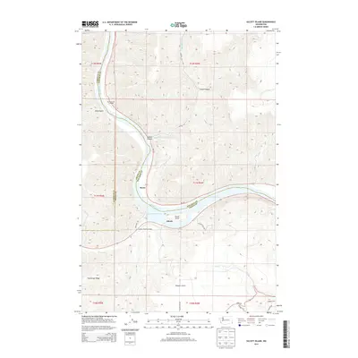
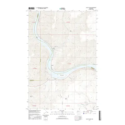
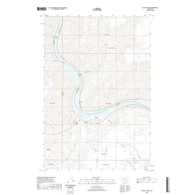
2011 Silcott Island
Whitman County, WA
2011 Texas Lake
Whitman County, WA
2011 Thera
Whitman County, WA
2011 Thornton
Whitman County, WA
2011 Wades Bar
Whitman County, WA
2011 Wilcox
Whitman County, WA
2011 Winona
Whitman County, WA
2013 Almota
Whitman County, WA
2013 Colfax North
Whitman County, WA
2013 Colfax South
Whitman County, WA
2013 Diamond
Whitman County, WA
2013 Dusty
Whitman County, WA
2013 Ewartsville
Whitman County, WA
2013 Hay
Whitman County, WA
2013 Honn Lakes
Whitman County, WA
2013 Hooper Lake
Whitman County, WA
2013 La Crosse East
Whitman County, WA
2013 Little Penawawa Creek
Whitman County, WA
2013 Thera
Whitman County, WA
2013 Wilcox
Whitman County, WA
2013 Winona
Whitman County, WA
2014 Central Ferry
Whitman County, WA
2014 Elberton
Whitman County, WA
2014 Ewan
Whitman County, WA
2014 La Crosse West
Whitman County, WA
2014 Lamont NE
Whitman County, WA
2014 Palouse Falls
Whitman County, WA
2014 Pine City
Whitman County, WA
2014 Revere
Whitman County, WA
2014 Rock Lake
Whitman County, WA
2014 Saint John
Whitman County, WA
2014 Silcott Island
Whitman County, WA
2014 Texas Lake
Whitman County, WA
2014 Thornton
Whitman County, WA
2014 Wades Bar
Whitman County, WA
2017 Almota
Whitman County, WA
2017 Central Ferry
Whitman County, WA
2017 Colfax North
Whitman County, WA
2017 Colfax South
Whitman County, WA
2017 Diamond
Whitman County, WA
2017 Dusty
Whitman County, WA
2017 Elberton
Whitman County, WA
2017 Ewan
Whitman County, WA
2017 Ewartsville
Whitman County, WA
2017 Hay
Whitman County, WA
2017 Honn Lakes
Whitman County, WA
2017 Hooper Lake
Whitman County, WA
2017 La Crosse East
Whitman County, WA
2017 La Crosse West
Whitman County, WA
2017 Lamont NE
Whitman County, WA
2017 Little Penawawa Creek
Whitman County, WA
2017 Palouse Falls
Whitman County, WA
2017 Pine City
Whitman County, WA
2017 Revere
Whitman County, WA
2017 Rock Lake
Whitman County, WA
2017 Saint John
Whitman County, WA
2017 Silcott Island
Whitman County, WA
2017 Texas Lake
Whitman County, WA
2017 Thera
Whitman County, WA
2017 Thornton
Whitman County, WA
2017 Wades Bar
Whitman County, WA
2017 Wilcox
Whitman County, WA
2017 Winona
Whitman County, WA
2020 Almota
Whitman County, WA
2020 Central Ferry
Whitman County, WA
2020 Colfax North
Whitman County, WA
2020 Colfax South
Whitman County, WA
2020 Diamond
Whitman County, WA
2020 Dusty
Whitman County, WA
2020 Elberton
Whitman County, WA
2020 Ewan
Whitman County, WA
2020 Ewartsville
Whitman County, WA
2020 Hay
Whitman County, WA
2020 Honn Lakes
Whitman County, WA
2020 Hooper Lake
Whitman County, WA
2020 La Crosse East
Whitman County, WA
2020 La Crosse West
Whitman County, WA
2020 Lamont NE
Whitman County, WA
2020 Little Penawawa Creek
Whitman County, WA
2020 Palouse Falls
Whitman County, WA
2020 Pine City
Whitman County, WA
2020 Revere
Whitman County, WA
2020 Rock Lake
Whitman County, WA
2020 Saint John
Whitman County, WA
2020 Silcott Island
Whitman County, WA
2020 Texas Lake
Whitman County, WA
2020 Thera
Whitman County, WA
2020 Thornton
Whitman County, WA
2020 Wades Bar
Whitman County, WA
2020 Wilcox
Whitman County, WA
2020 Winona
Whitman County, WA
2023 Almota
Whitman County, WA
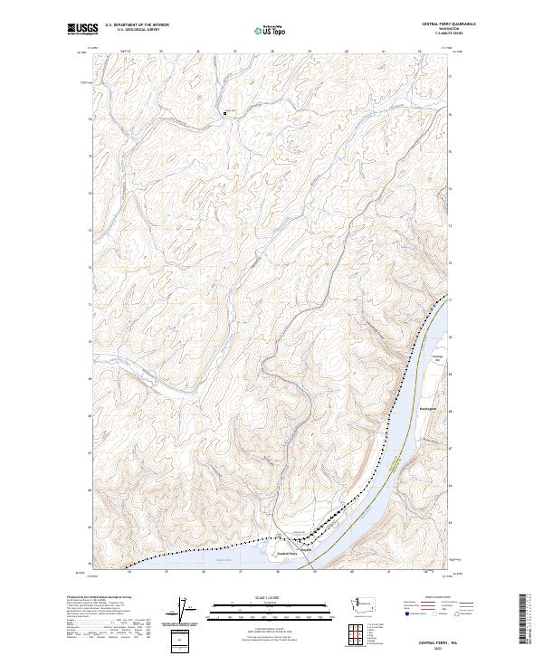
2023 Central Ferry
Whitman County, WA
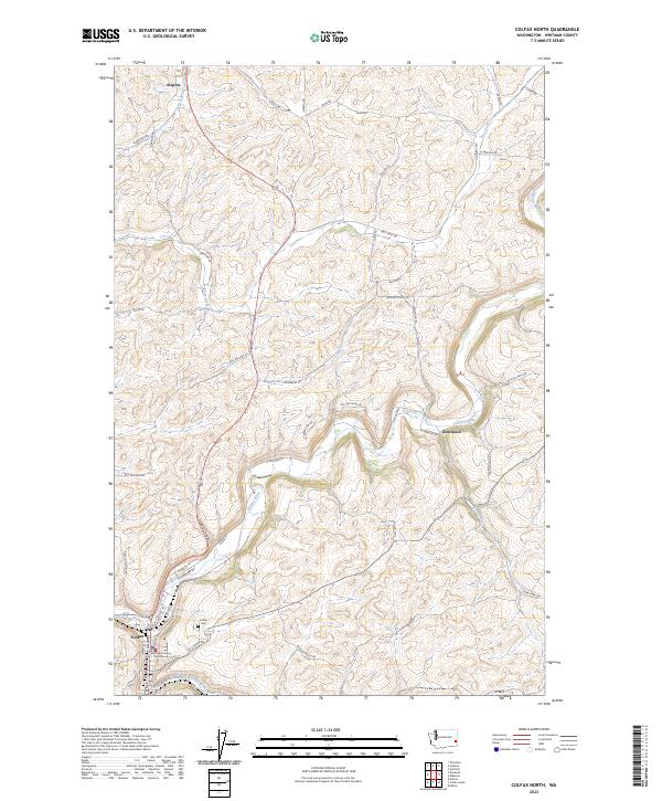
2023 Colfax North
Whitman County, WA
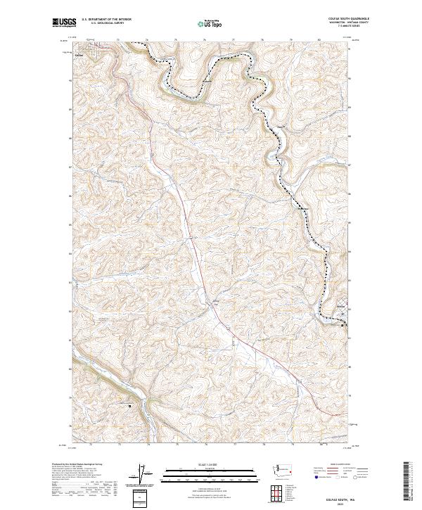
2023 Colfax South
Whitman County, WA
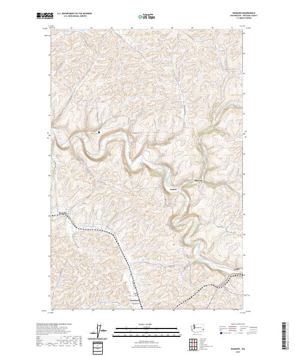
2023 Diamond
Whitman County, WA
2023 Dusty
Whitman County, WA
2023 Elberton
Whitman County, WA
2023 Ewan
Whitman County, WA
2023 Ewartsville
Whitman County, WA
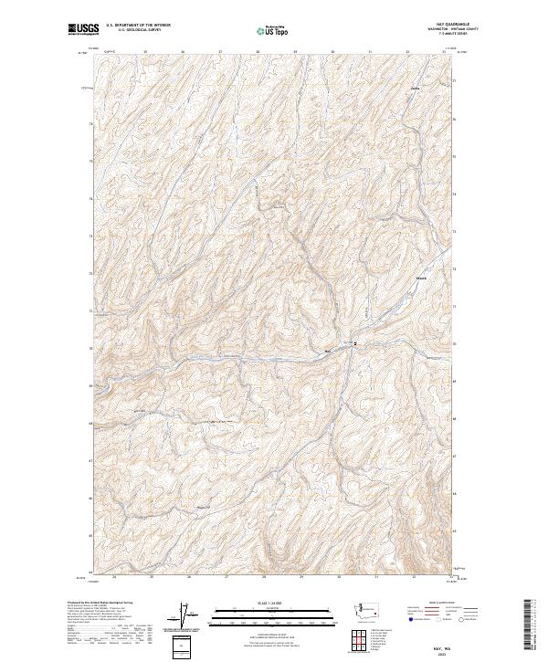
2023 Hay
Whitman County, WA
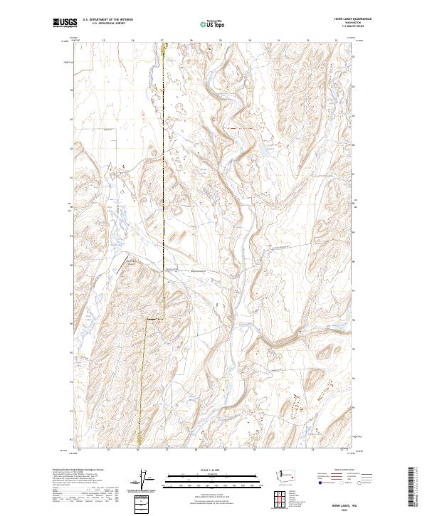
2023 Honn Lakes
Whitman County, WA
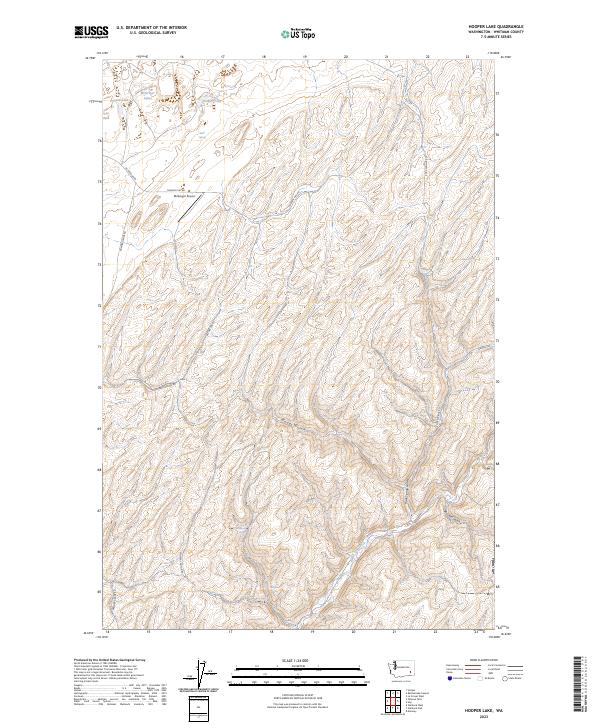
2023 Hooper Lake
Whitman County, WA
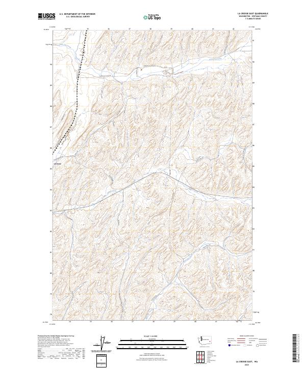
2023 La Crosse East
Whitman County, WA
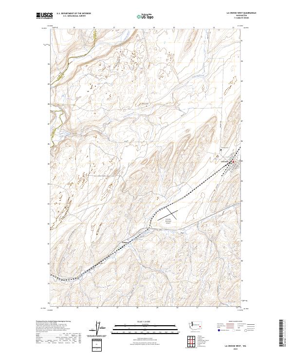
2023 La Crosse West
Whitman County, WA
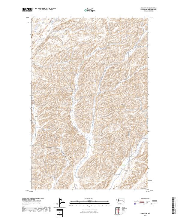
2023 Lamont NE
Whitman County, WA
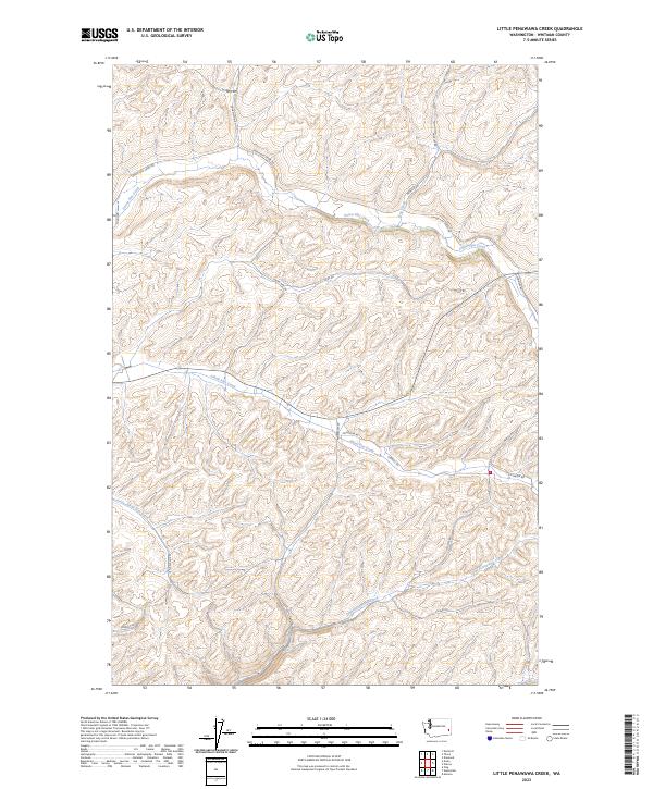
2023 Little Penawawa Creek
Whitman County, WA
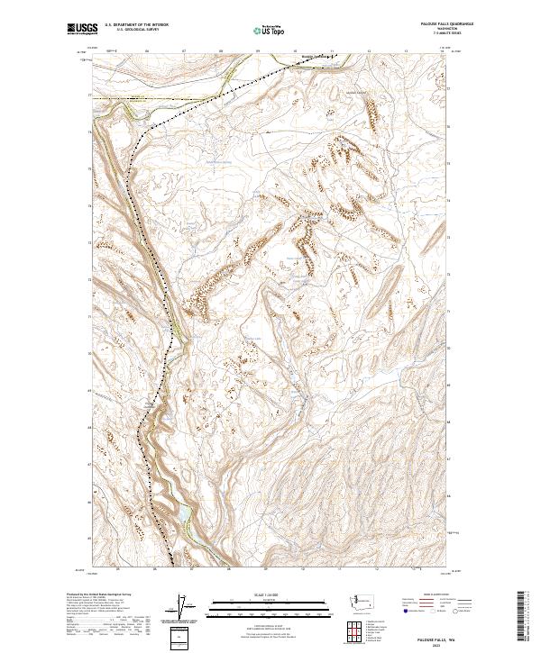
2023 Palouse Falls
Whitman County, WA
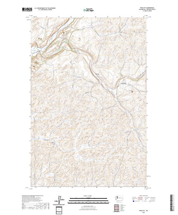
2023 Pine City
Whitman County, WA
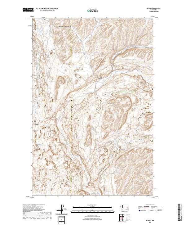
2023 Revere
Whitman County, WA
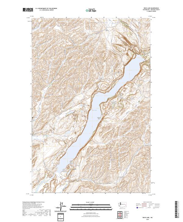
2023 Rock Lake
Whitman County, WA
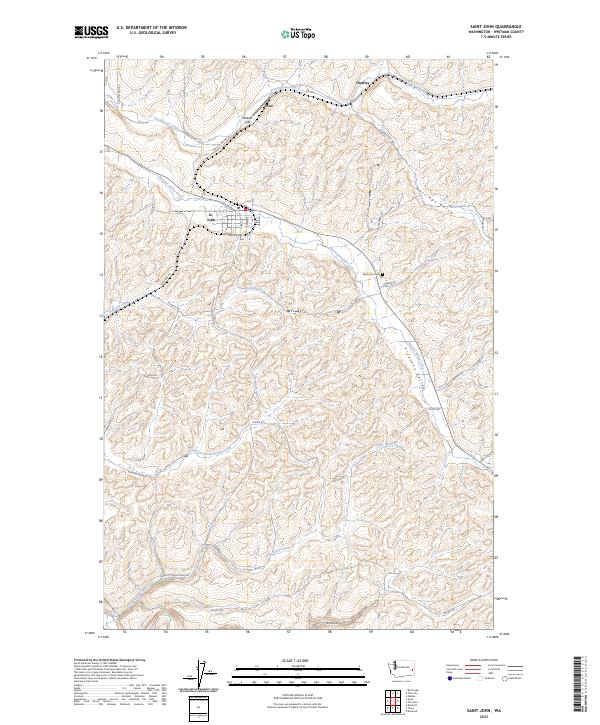
2023 Saint John
Whitman County, WA
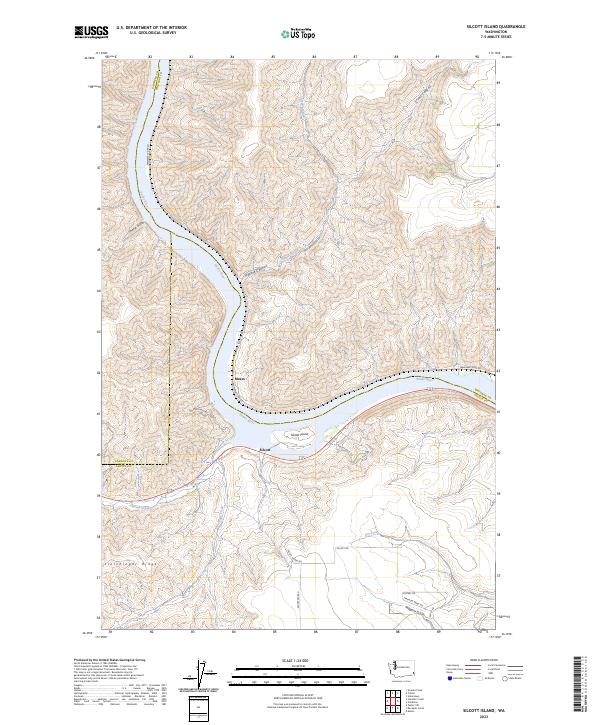
2023 Silcott Island
Whitman County, WA
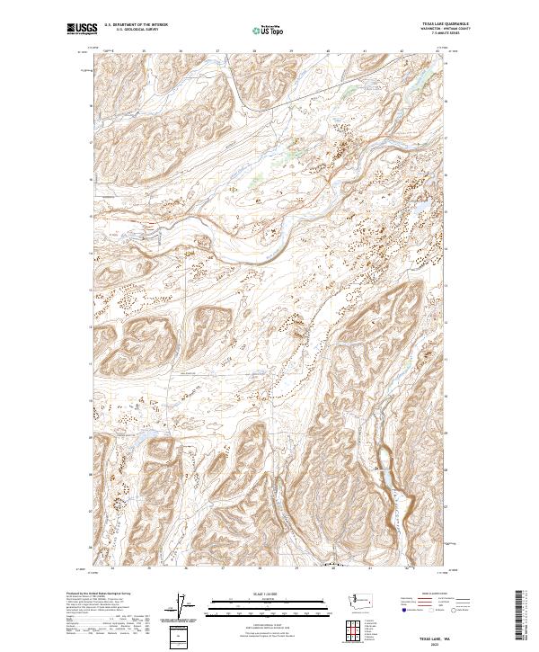
2023 Texas Lake
Whitman County, WA
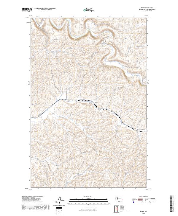
2023 Thera
Whitman County, WA
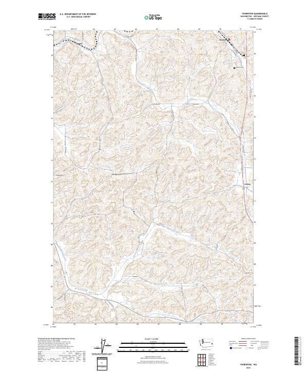
2023 Thornton
Whitman County, WA
2023 Wades Bar
Whitman County, WA
2023 Wilcox
Whitman County, WA
2023 Winona
Whitman County, WA