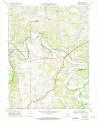
1969 Map of Moselle
USGS Topo · Published 1971About this map
The Bourbeuse River and Meramec River converge in this section of Franklin County, framing a landscape defined by sharp elevation changes and deep creek valleys. The western edge is anchored by the growing community of Union, while Moselle sits to the southeast near the river bend. Between them, the land is marked by small rural nodes like Gildehouse and Villa Ridge, alongside evidence of the region’s mid-century infrastructure including a sewage disposal pond, a gaging station, and the St Clair Municipal Airport. The industrial and transport history is visible through the paths of the Chicago Rock Island and Pacific and the St Louis-San Francisco railroads. Local genealogy is well-documented with landmarks like Bethlehem Ch, Pleasant Hill Cem, and the family-named Cheatham Cem.
Find a feature on this map
34 named features on this map. Tap any name to fly to it.
Don’t see what you’re looking for? This feature index may not catch every label — zoom into the map to look around manually.
Map Details
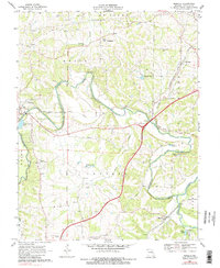
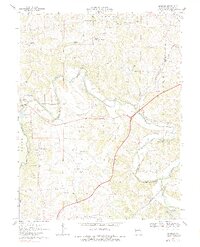
Editions of this 1969 Moselle Map
3 editions found
Other maps of this area

1890 · Hermann
USGS Topo · 1:125,000

1901 · De Soto
USGS Topo · 1:125,000

1903 · O'Fallon
USGS Topo · 1:125,000

1903 · Sullivan
USGS Topo · 1:125,000

1946 · Union
USGS Topo · 1:62,500

1947 · St. Clair
USGS Topo · 1:62,500

1948 · Union
USGS Topo · 1:62,500

1948 · Washington
USGS Topo · 1:62,500

1948 · Augusta
USGS Topo · 1:62,500

1949 · Saint Louis
USGS Topo · 1:250,000