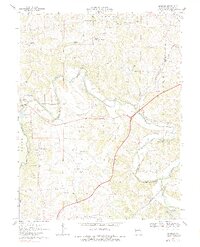
1969 Map of Moselle
USGS Topo · Published 1983About this map
The Bourbeuse River winds through the heart of Franklin County, framing a landscape where agricultural traditions meet mid-century transit expansion. This survey shows the region's topography just as the 4 Lane highway was becoming a dominant fixture, crossing the Chicago Rock Island and Pacific railroad lines. To the east, the St Louis-San Francisco line follows the Meramec River near Moselle, a settlement defined by its proximity to the water and the rail.
Find a feature on this map
38 named features on this map. Tap any name to fly to it.
Don’t see what you’re looking for? This feature index may not catch every label — zoom into the map to look around manually.
Map Details
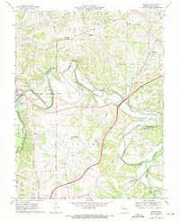
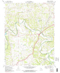
Editions of this 1969 Moselle Map
3 editions found
Other maps of this area

1890 · Hermann
USGS Topo · 1:125,000

1901 · De Soto
USGS Topo · 1:125,000

1903 · O'Fallon
USGS Topo · 1:125,000

1903 · Sullivan
USGS Topo · 1:125,000

1946 · Union
USGS Topo · 1:62,500

1947 · St. Clair
USGS Topo · 1:62,500

1948 · Union
USGS Topo · 1:62,500

1948 · Washington
USGS Topo · 1:62,500

1948 · Augusta
USGS Topo · 1:62,500

1949 · Saint Louis
USGS Topo · 1:250,000