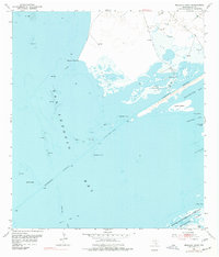
1952 Map of Mosquito Point
USGS Topo · Published 1977About this map
San Antonio Bay dominates this coastal survey, where the Intracoastal Waterway cuts a straight path through the shallow waters toward Matagorda Island. The landscape is defined by its shifting marine features, including extensive Shell Reefs, the hazardous Panther Reef, and the protective barrier of the Matagorda Island Bombing and Gunnery Range. Along the shoreline, extraction activity is evident through numerous Oil Wells and Gas Wells clustered near the Mud Flats. Small, evocative landmarks like Big Bird Island, Little Bird Island, and Mosquito Point provide essential navigation points in an environment where the boundary between land and water is often fluid. The presence of the military range on the barrier island reflects the mid-century strategic use of these remote coastal stretches, while the dredging at Panther Cut highlights the ongoing engineering required to maintain maritime commerce.
Find a feature on this map
26 named features on this map. Tap any name to fly to it.
Don’t see what you’re looking for? This feature index may not catch every label — zoom into the map to look around manually.
Map Details
Editions of this 1952 Mosquito Point Map
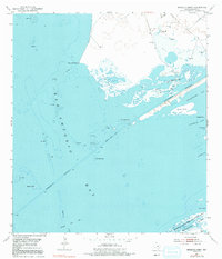
Other maps of this area

1952 · Mosquito Point
USGS Topo · 1:24,000

1952 · Long Island
USGS Topo · 1:24,000

1952 · Mesquite Bay
USGS Topo · 1:24,000

1952 · Tivoli SE
USGS Topo · 1:24,000

1952 · Seadrift NE
USGS Topo · 1:24,000

1952 · Panther Point
USGS Topo · 1:24,000

1952 · Austwell
USGS Topo · 1:24,000

1952 · Seadrift
USGS Topo · 1:24,000
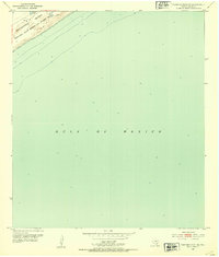
1952 · Panther Point NE
USGS Topo · 1:24,000

1953 · Beeville
USGS Topo · 1:250,000