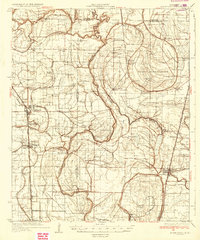
1935 Map of Mound Bayou
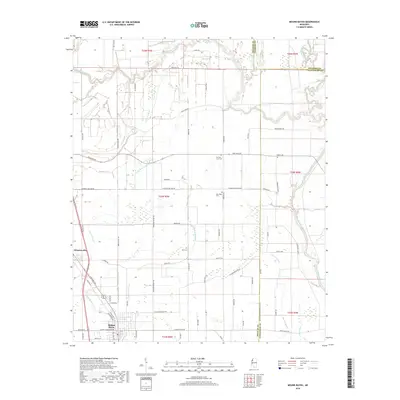
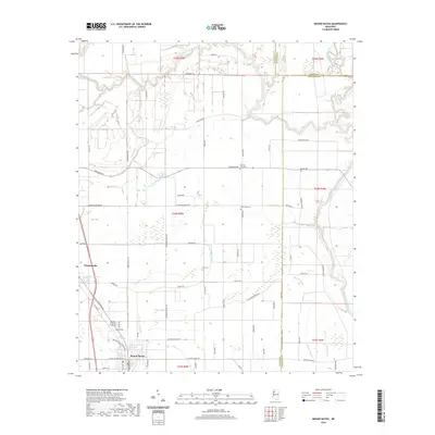
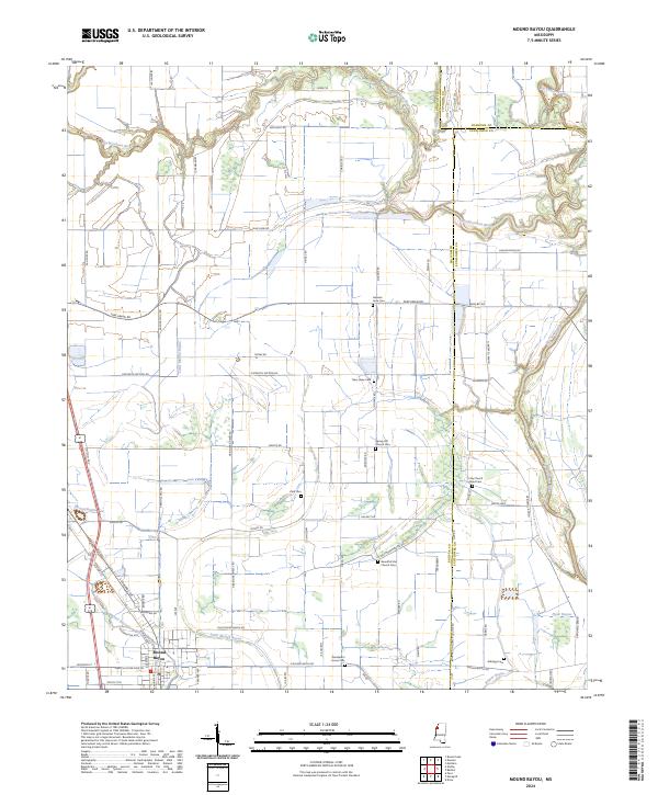
USGS Topo · Published 1935About this map
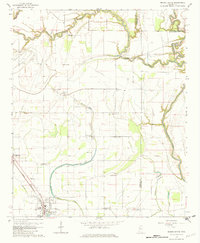
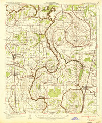
Mound Bayou stands as a central settlement in this mid-1930s landscape, positioned along the Yazoo and Mississippi Valley railroad line. The map reveals an exceptionally dense network of African American community centers and institutions, with dozens of churches and schools scattered across the alluvial plain. Notable spiritual landmarks include Pilgrims Rest Ch, Beautiful Star Ch, and Wander Home Ch, while educational sites like White Zion Sch and Sid Dodd Sch indicate the rural social infrastructure of the era. To the east, the State Reservation is marked by a series of numbered camps, including Hospital Camp, suggesting a large-scale organized labor or correctional presence near the winding Sunflower River. The region's drainage is defined by numerous bayous, such as Little Mound Bayou and Jones Bayou, which dictated the early patterns of plantation settlement and transit.
Find a feature on this map
64 named features on this map. Tap any name to fly to it.
Don’t see what you’re looking for? This feature index may not catch every label — zoom into the map to look around manually.
Map Details
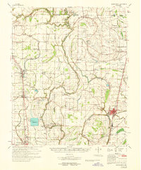
Editions of this 1935 Mound Bayou Map
2 editions found
Historical Maps of Cleveland Through Time
8 maps found