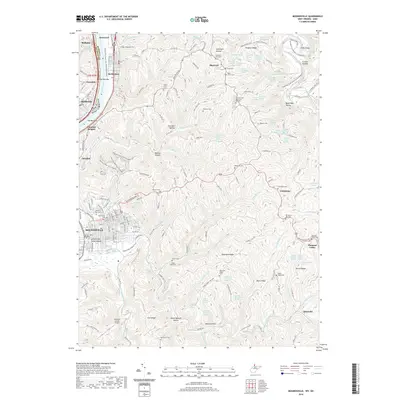
2019 Map of Moundsville
USGS Topo · Published 2019About this map
Grave Creek Indian Mound stands as a prominent historical landmark in the heart of Moundsville, positioned just east of the Ohio River. This 2019 survey illustrates the dense development of the river valley, where the towns of Glendale, McMechen, and Benwood form a continuous corridor of settlement along the water. The landscape quickly transitions from the industrial and residential river flats to the dissected plateaus and deep ravines of the West Virginia panhandle.
Find a feature on this map
95 named features on this map. Tap any name to fly to it.
Don’t see what you’re looking for? This feature index may not catch every label — zoom into the map to look around manually.
Map Details
Editions of this 2019 Moundsville Map
This is the sole edition of this map. No revisions or reprints were ever made.
Other maps of this area

1902 · Wheeling
USGS Topo · 1:62,500

1904 · Cameron
USGS Topo · 1:62,500

1905 · Clarington
USGS Topo · 1:62,500

1905 · St. Clairsville
USGS Topo · 1:62,500

1935 · Cameron
USGS Topo · 1:62,500

1935 · Clarington
USGS Topo · 1:62,500

1935 · Wheeling
USGS Topo · 1:62,500

1940 · Clarington
USGS Topo · 1:62,500

1942 · Cameron
USGS Topo · 1:62,500

1942 · Wheeling
USGS Topo · 1:62,500