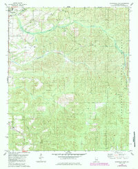
2024 Map of Moundville West
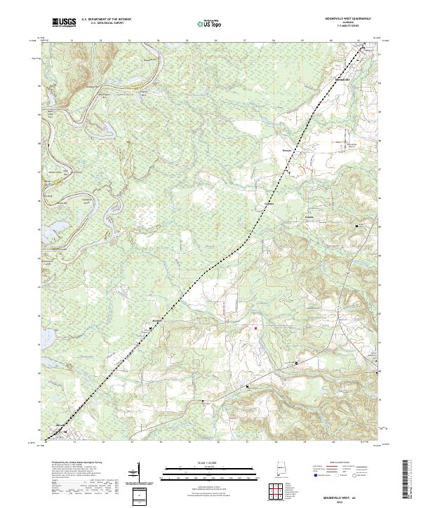
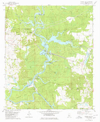
USGS Topo · Published 2024This historical map portrays the area of Moundville West in 2024, primarily covering Hale County as well as portions of Greene County. Featuring a scale of 1:24000, this map provides a highly detailed snapshot of the terrain, roads, buildings, counties, and historical landmarks in the Moundville West region at the time. Published in 2024, it is the sole known edition of this map.
Map Details
Editions of this 2024 Moundville West Map
This is the sole edition of this map. No revisions or reprints were ever made.
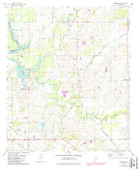
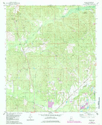
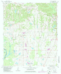
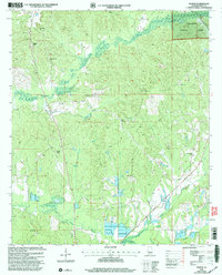
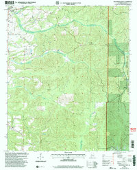
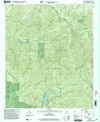
Historical Maps of Greene County Through Time
19 maps found
1980 Casemore
Hale County, AL
1980 Ingram
Hale County, AL
1980 Melton
Hale County, AL
1980 Moundville East
Hale County, AL
1980 Moundville West
Hale County, AL
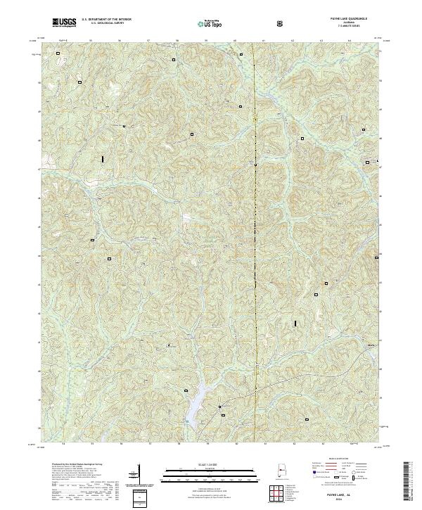
1980 Payne Lake
Hale County, AL
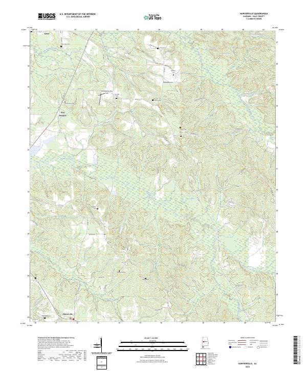
1980 Sawyerville
Hale County, AL
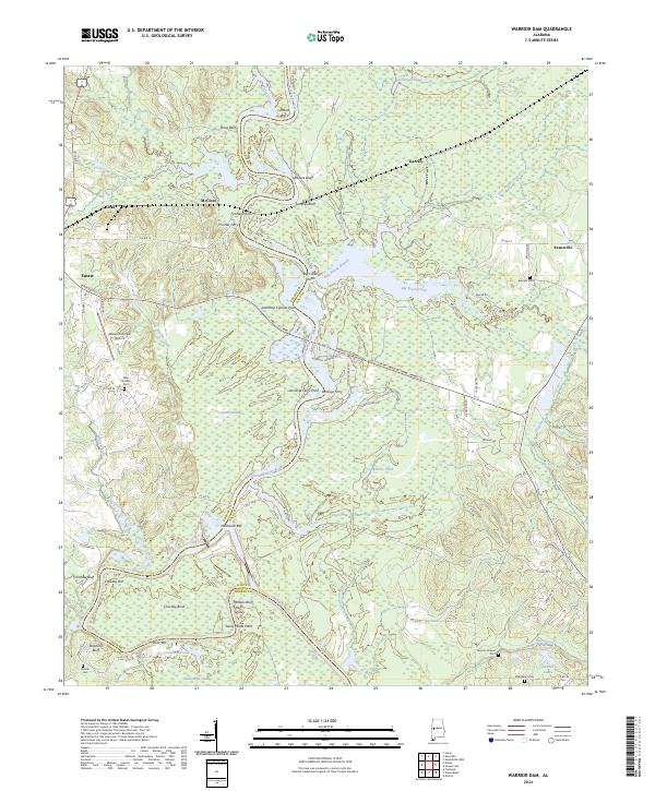
1980 Warrior Dam
Hale County, AL
2002 Ingram
Hale County, AL
2002 Moundville East
Hale County, AL
2002 Payne Lake
Hale County, AL
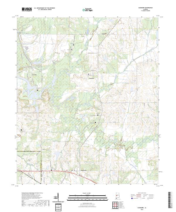
2024 Casemore
Hale County, AL
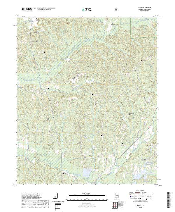
2024 Ingram
Hale County, AL
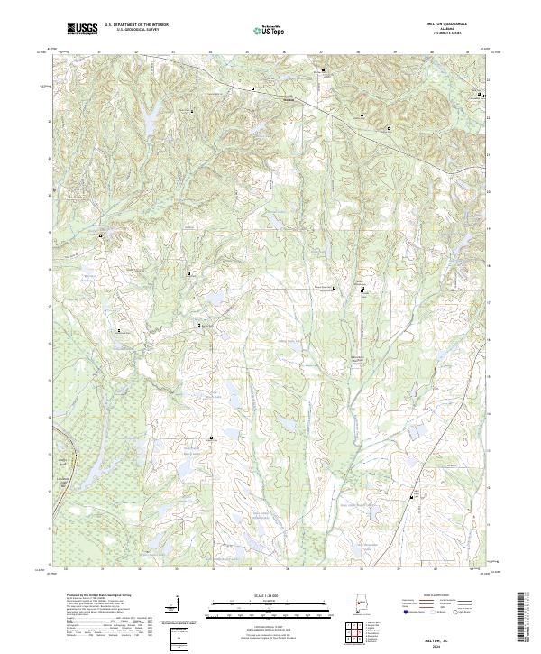
2024 Melton
Hale County, AL
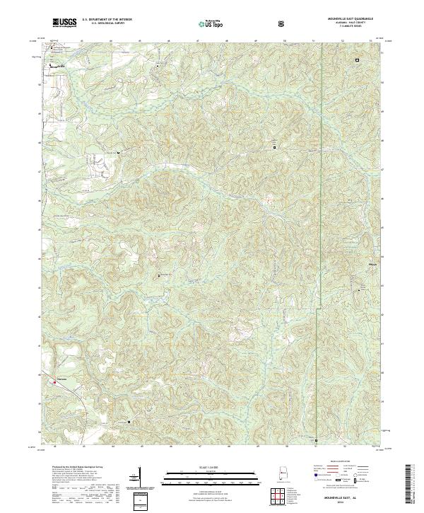
2024 Moundville East
Hale County, AL
2024 Moundville West
Hale County, AL
2024 Payne Lake
Hale County, AL
2024 Sawyerville
Hale County, AL
2024 Warrior Dam
Hale County, AL