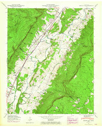
1946 Map of Mount Airy
USGS Topo · Published 1965About this map
The Sequatchie River valley dominates this mid-century survey, flanked by the steep walls of the Cumberland Escarpment. The settlement of Mount Airy serves as a central point along State Highway 28, which parallels the Louisville and Nashville RR as it carries industrial traffic through the lowlands. This corridor is punctuated by infrastructure like the Brush Creek Siding, reflecting the importance of rail transport to the local economy.
Find a feature on this map
78 named features on this map. Tap any name to fly to it.
Don’t see what you’re looking for? This feature index may not catch every label — zoom into the map to look around manually.
Map Details
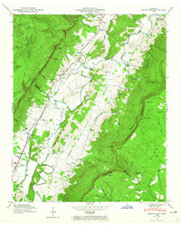
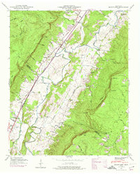
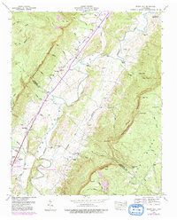
Editions of this 1946 Mount Airy Map
4 editions found
Other maps of this area

1888 · Chattanooga
USGS Topo · 1:125,000

1892 · Pikeville
USGS Topo · 1:125,000

1893 · Chattanooga
USGS Topo · 1:125,000

1895 · Pikeville
USGS Topo · 1:125,000

1909 · Sequatchie Valley
USGS Topo · 1:62,500

1910 · Pikeville
USGS Topo · 1:62,500

1935 · Soddy
USGS Topo · 1:24,000

1935 · Brockdell
USGS Topo · 1:24,000

1935 · Brayton
USGS Topo · 1:24,000

1935 · Mount Airy
USGS Topo · 1:24,000