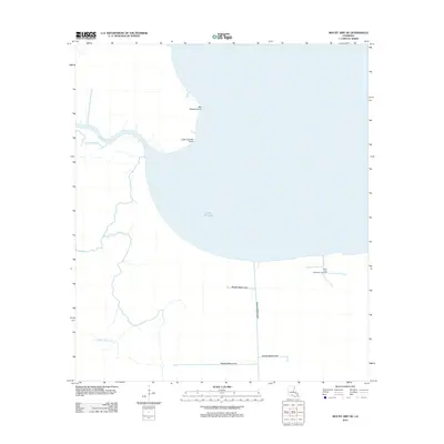
2012 Map of Mount Airy NE
USGS Topo · Published 2012About this map
Lake Maurepas dominates this coastal Louisiana landscape, where the shifting boundaries of water and wetlands define the region's character. The 2012 survey illustrates a complex network of waterways, including the Blind River and Mississippi Bayou, which weave through the low-lying terrain. The map captures the presence of the South Lake Maurepas Gas Field near the southern shoreline, marking a site of industrial activity amidst the natural delta environment.
Find a feature on this map
11 named features on this map. Tap any name to fly to it.
Don’t see what you’re looking for? This feature index may not catch every label — zoom into the map to look around manually.
Map Details
Editions of this 2012 Mount Airy NE Map
This is the sole edition of this map. No revisions or reprints were ever made.
Other maps of this area

1892 · Mount Airy
USGS Topo · 1:62,500

1892 · Bonnet Carre
USGS Topo · 1:62,500

1934 · Springfield
USGS Topo · 1:62,500

1935 · Laplace
USGS Topo · 1:31,680

1935 · Ponchatoula
USGS Topo · 1:62,500

1936 · Ruddock
USGS Topo · 1:31,680

1936 · Bonnet Carre
USGS Topo · 1:62,500

1939 · Ponchatoula
USGS Topo · 1:62,500

1939 · Springfield
USGS Topo · 1:62,500

1946 · North of Garyville
USGS Topo · 1:31,680