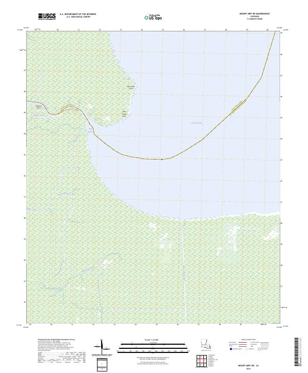
2024 Map of Mount Airy NE
USGS Topo · Published 2024About this map
The southwest shore of Lake Maurepas dominates this landscape, where the marshy transition between Livingston and St. John the Baptist Parishes is defined by a dense network of slow-moving waterways. Unlike the higher ground found elsewhere in the region, this area is a wilderness of cypress points and bayous, notably Big Cypress Point and Little Cypress Point. These features indicate the historical timber value and the challenging environment for early navigation and land use.
Find a feature on this map
16 named features on this map. Tap any name to fly to it.
Don’t see what you’re looking for? This feature index may not catch every label — zoom into the map to look around manually.
Map Details
Editions of this 2024 Mount Airy NE Map
This is the sole edition of this map. No revisions or reprints were ever made.
Other maps of this area

1892 · Mount Airy
USGS Topo · 1:62,500

1892 · Bonnet Carre
USGS Topo · 1:62,500

1934 · Springfield
USGS Topo · 1:62,500

1935 · Laplace
USGS Topo · 1:31,680

1935 · Ponchatoula
USGS Topo · 1:62,500

1936 · Ruddock
USGS Topo · 1:31,680

1936 · Bonnet Carre
USGS Topo · 1:62,500

1939 · Ponchatoula
USGS Topo · 1:62,500

1939 · Springfield
USGS Topo · 1:62,500

1946 · North of Garyville
USGS Topo · 1:31,680