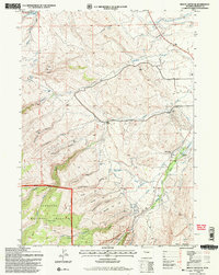
1991 Map of Mount Arter SE
USGS Topo · Published 1997About this map
The Shoshone National Forest and the boundary of the Wind River Indian Reservation meet in this landscape defined by deep canyons and the complex hydrology of the Popo Agie drainage. In the early 1990s, the terrain south of the Lander Ranger District line shows a transition from high ridges like Timber Top and Table Mountain down into the rugged cuts of Sheep Canyon and Sawmill Canyon. A distinctive historical marker is the Bonier-Garden School (Aband), situated east of where Squaw Creek joins the Popo Agie River.
Find a feature on this map
51 named features on this map. Tap any name to fly to it.
Don’t see what you’re looking for? This feature index may not catch every label — zoom into the map to look around manually.
Map Details
Editions of this 1991 Mount Arter SE Map
2 editions found
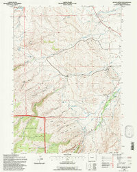
Other maps of this area

1952 · Ray Lake
USGS Topo · 1:24,000

1952 · Wind River
USGS Topo · 1:24,000

1952 · Lander
USGS Topo · 1:24,000

1952 · Lander NW
USGS Topo · 1:24,000

1953 · Cony Mountain
USGS Topo · 1:24,000

1953 · Mount Arter
USGS Topo · 1:24,000

1953 · Fossil Hill
USGS Topo · 1:24,000

1953 · Mount Arter SE
USGS Topo · 1:24,000

1954 · Wolf Point
USGS Topo · 1:24,000

1955 · Lander
USGS Topo · 1:250,000