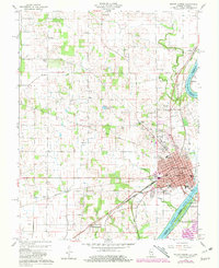
1959 Map of Mount Carmel
USGS Topo · Published 1981About this map
Mount Carmel sits at the strategic confluence where the White River joins the Wabash River, serving as a hub for both river and rail transport in the mid-20th century. The town's layout is well-established, featuring the Courthouse, City Bldg, and several educational landmarks such as North Sch and the High Sch. Significant rail infrastructure from Conrail and the Southern line cross the landscape, connecting the river city to outlying settlements like Maud, Friendsville, and Schrodts Station.
Find a feature on this map
48 named features on this map. Tap any name to fly to it.
Don’t see what you’re looking for? This feature index may not catch every label — zoom into the map to look around manually.
Map Details
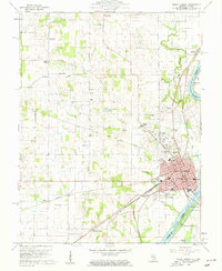
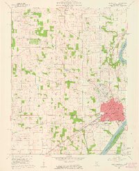
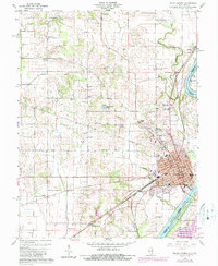
Editions of this 1959 Mount Carmel Map
4 editions found
Other maps of this area

1901 · Princeton
USGS Topo · 1:62,500

1903 · Princeton
USGS Topo · 1:62,500

1903 · Patoka
USGS Topo · 1:125,000

1904 · Mount Carmel
USGS Topo · 1:62,500

1911 · Sumner
USGS Topo · 1:62,500

1913 · Sumner
USGS Topo · 1:62,500

1915 · Vincennes
USGS Topo · 1:62,500

1944 · Vincennes
USGS Topo · 1:62,500

1956 · Vincennes
USGS Topo · 1:250,000

1957 · Vincennes
USGS Topo · 1:250,000