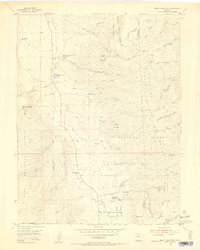
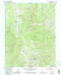
1954 Map of Mount Deception
USGS Topo · Published 1955About this map
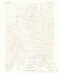
Manitou Experimental Forest Headquarters serves as a focal point for land management and research within the Pike National Forest during the mid-1950s. The landscape is defined by the steep ridges of the Rampart Range and significant peaks such as Mount Deception and Soldier Mountain. Local life and community infrastructure are visible through features like the Manitou Park Grange, the Sky High Girl Scout Camp, and the Worden Ranch. Water management is a critical theme of this era, illustrated by the Manitou Park Lake, the Woodland Park Filtration Plant, and an extensive aqueduct system. The area's shift toward organized outdoor leisure is also evident in the development of the Manitou Park Recreation Area and the Springdale Campground, connected by a network of winding roads like Hotel Road and Winding Stairs Road.
Find a feature on this map
41 named features on this map. Tap any name to fly to it.
Don’t see what you’re looking for? This feature index may not catch every label — zoom into the map to look around manually.
Map Details
Editions of this 1954 Mount Deception Map
10 editions found

Other maps of this area

1893 · Platte Canyon
USGS Topo · 1:125,000

1893 · Colorado Springs
USGS Topo · 1:125,000

1894 · Pikes Peak
USGS Topo · 1:125,000

1894 · Castle Rock
USGS Topo · 1:125,000

1901 · Pikes Peak
USGS Topo · 1:125,000

1901 · Pikes Peak
USGS Topo · 1:62,500

1909 · Colorado Springs
USGS Topo · 1:125,000

1913 · Castle Rock
USGS Topo · 1:125,000

1942 · Colorado Springs
USGS Topo · 1:125,000

1948 · Colorado Springs
USGS Topo · 1:62,500