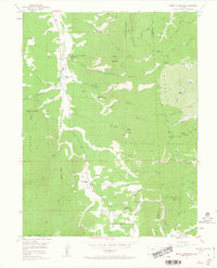
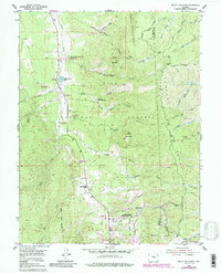
1954 Map of Mount Deception
USGS Topo · Published 1963About this map
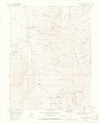
The Manitou Experimental Forest dominates this mid-century landscape in the high country north of Woodland Park, showing a region dedicated to forestry research and conservation. Centered on Mount Deception, the terrain is defined by a dense network of gulches, including White Spruce Gulch and Missouri Gulch, which drain into the valley of Trout Creek. Local civic life and early settlement are anchored by the Manitou Park Grange and the Manitou Experimental Forest Headquarters, while the presence of the Sky High Girl Scout Camp and Springdale Campground highlights the area's role as a recreational retreat. To the east, the Rampart Range Road snakes along the ridgelines of the Rampart Range, providing access to the rugged interior. Civil engineering projects of the era are evident in the Lovely Aqueduct and the Woodland Park Filtration Plant, reflecting the vital management of water resources in the Pike National Forest.
Find a feature on this map
41 named features on this map. Tap any name to fly to it.
Don’t see what you’re looking for? This feature index may not catch every label — zoom into the map to look around manually.
Map Details
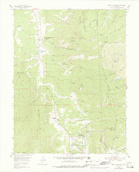
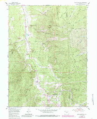
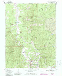
Editions of this 1954 Mount Deception Map
10 editions found

Other maps of this area

1893 · Platte Canyon
USGS Topo · 1:125,000

1893 · Colorado Springs
USGS Topo · 1:125,000

1894 · Pikes Peak
USGS Topo · 1:125,000

1894 · Castle Rock
USGS Topo · 1:125,000

1901 · Pikes Peak
USGS Topo · 1:125,000

1901 · Pikes Peak
USGS Topo · 1:62,500

1909 · Colorado Springs
USGS Topo · 1:125,000

1913 · Castle Rock
USGS Topo · 1:125,000

1942 · Colorado Springs
USGS Topo · 1:125,000

1948 · Colorado Springs
USGS Topo · 1:62,500