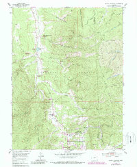
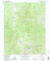
1954 Map of Mount Deception
USGS Topo · Published 1988About this map
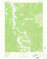
Manitou Experimental Forest Headquarters serves as a central landmark in this high-altitude landscape of the Pike National Forest. The geography is defined by the Rampart Range to the east and the watershed of Trout Creek to the west. Land use in the mid-20th century is characterized by a mix of federal research, military recreation at the Farish Memorial USAR Rec Area, and youth camps such as the Sky High Girl Scout Camp.
Find a feature on this map
35 named features on this map. Tap any name to fly to it.
Don’t see what you’re looking for? This feature index may not catch every label — zoom into the map to look around manually.
Map Details
Editions of this 1954 Mount Deception Map
10 editions found

Other maps of this area

1893 · Platte Canyon
USGS Topo · 1:125,000

1893 · Colorado Springs
USGS Topo · 1:125,000

1894 · Pikes Peak
USGS Topo · 1:125,000

1894 · Castle Rock
USGS Topo · 1:125,000

1901 · Pikes Peak
USGS Topo · 1:125,000

1901 · Pikes Peak
USGS Topo · 1:62,500

1909 · Colorado Springs
USGS Topo · 1:125,000

1913 · Castle Rock
USGS Topo · 1:125,000

1942 · Colorado Springs
USGS Topo · 1:125,000

1948 · Colorado Springs
USGS Topo · 1:62,500