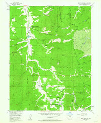
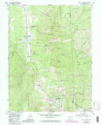
1954 Map of Mount Deception
USGS Topo · Published 1962About this map
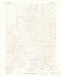
The Manitou Experimental Forest anchors this mid-century survey of the terrain north of Woodland Park, where federal research and civic landmarks meet the high peaks of the Rampart Range. Centered on the 9,363-foot peak of Mount Deception, the landscape is defined by a dense network of gulches—including Hotel Gulch, Johns Gulch, and Missouri Gulch—that drain the eastern slopes toward Trout Creek. Local community life is evidenced by the Manitou Park Grange and the Sky High Girl Scout Camp, while the Woodland Park Filtration Plant and the Lovely Aqueduct illustrate the critical infrastructure managing water for the surrounding area. The presence of the Woodland Park Ranger Station and Warden Ranch reflects the region's dual history of forestry management and early ranching, all contained within the larger Pike National Forest.
Find a feature on this map
76 named features on this map. Tap any name to fly to it.
Don’t see what you’re looking for? This feature index may not catch every label — zoom into the map to look around manually.
Map Details
Editions of this 1954 Mount Deception Map
10 editions found

Other maps of this area

1893 · Platte Canyon
USGS Topo · 1:125,000

1893 · Colorado Springs
USGS Topo · 1:125,000

1894 · Pikes Peak
USGS Topo · 1:125,000

1894 · Castle Rock
USGS Topo · 1:125,000

1901 · Pikes Peak
USGS Topo · 1:125,000

1901 · Pikes Peak
USGS Topo · 1:62,500

1909 · Colorado Springs
USGS Topo · 1:125,000

1913 · Castle Rock
USGS Topo · 1:125,000

1942 · Colorado Springs
USGS Topo · 1:125,000

1948 · Colorado Springs
USGS Topo · 1:62,500