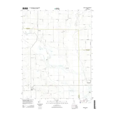
2015 Map of Mount Erie
USGS Topo · Published 2015About this map
Mount Erie anchors the southwestern corner of this survey, situated at the junction of Miller Cr and Newton Br. The landscape is dominated by the meandering course of the Little Wabash River, which creates complex hydrological patterns including Moutray Slough, Goose Pond, and Old River Lake. Distinctive geographical features like Totten Bend and Rutgers Bluff illustrate the winding path of the river as it flows through the southeastern portion of Wayne County.
Find a feature on this map
90 named features on this map. Tap any name to fly to it.
Don’t see what you’re looking for? This feature index may not catch every label — zoom into the map to look around manually.
Map Details
Editions of this 2015 Mount Erie Map
This is the sole edition of this map. No revisions or reprints were ever made.
Other maps of this area

1943 · Albion
USGS Topo · 1:62,500

1946 · Albion
USGS Topo · 1:62,500

1948 · Fairfield
USGS Topo · 1:62,500

1948 · Flora
USGS Topo · 1:62,500

1949 · Olney
USGS Topo · 1:62,500

1949 · Flora
USGS Topo · 1:62,500

1958 · Belleville
USGS Topo · 1:250,000

1962 · Belleville
USGS Topo · 1:250,000

1970 · Clay City
USGS Topo · 1:24,000

1970 · Enterprise
USGS Topo · 1:24,000