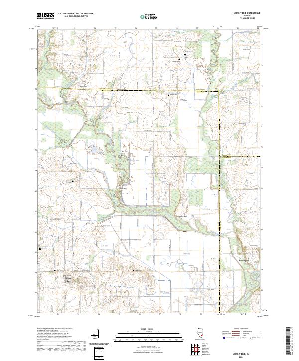
2024 Map of Mount Erie
USGS Topo · Published 2024About this map
Mount Erie and the surrounding farmland sit at the crossroads of several drainage networks where the Little Wabash River winds through the southern Illinois interior. This landscape is defined by its rural cemeteries, including Travers Cem, Scott Cem, and Moutray Cem, which serve as vital markers for family history and the early settlement patterns of Wayne and Edwards counties. The river's meandering course creates distinctive terrain features like Totten Bend and Rutgers Bluff, while the northern reaches of the map include the community of Wynoose and the Farm Service Agency Interest of Illinois. In the east, the Fox River and Bennington reflect a region deeply tied to its hydrology, with an intricate system of ditches and branches like Jones Ditch and Clear Pond Ditch managing the low-lying prairie land for agriculture.
Find a feature on this map
96 named features on this map. Tap any name to fly to it.
Don’t see what you’re looking for? This feature index may not catch every label — zoom into the map to look around manually.
Map Details
Editions of this 2024 Mount Erie Map
This is the sole edition of this map. No revisions or reprints were ever made.
Other maps of this area

1943 · Albion
USGS Topo · 1:62,500

1946 · Albion
USGS Topo · 1:62,500

1948 · Fairfield
USGS Topo · 1:62,500

1948 · Flora
USGS Topo · 1:62,500

1949 · Olney
USGS Topo · 1:62,500

1949 · Flora
USGS Topo · 1:62,500

1958 · Belleville
USGS Topo · 1:250,000

1962 · Belleville
USGS Topo · 1:250,000

1970 · Clay City
USGS Topo · 1:24,000

1970 · Enterprise
USGS Topo · 1:24,000