
1948 Map of Mount Fairweather A-2
USGS Topo · Published 1957About this map
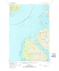
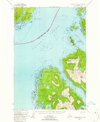
Glacier Bay National Monument borders the northern reaches of this coastal survey, where the massive waters of Cross Sound separate the mainland from the intricate archipelago of Southeast Alaska. The map captures the remote maritime character of Chichagof Island and Yakobi Island just after the mid-century, a period when the small fishing and mining outposts of Elfin Cove and Chichagof served as primary hubs for the region's sea-based economy.
Find a feature on this map
40 named features on this map. Tap any name to fly to it.
Don’t see what you’re looking for? This feature index may not catch every label — zoom into the map to look around manually.
Map Details
Editions of this 1948 Mount Fairweather A-2 Map
3 editions found
Other maps of this area

1948 · Mount Fairweather B-1
USGS Topo · 1:63,360

1948 · Mount Fairweather B-2
USGS Topo · 1:63,360

1948 · Sitka D-8
USGS Topo · 1:63,360

1948 · Mount Fairweather A-1
USGS Topo · 1:63,360

1950 · Sitka D-8
USGS Topo · 1:63,360

1951 · Sitka D-7
USGS Topo · 1:63,360

1951 · Mt Fairweather
USGS Topo · 1:250,000

1951 · Sitka
USGS Topo · 1:250,000

1952 · Sitka
USGS Topo · 1:250,000

1954 · Mount Fairweather A-1
USGS Topo · 1:63,360