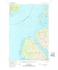
1948 Map of Mount Fairweather A-2
USGS Topo · Published 1962About this map
The coastal fishing settlement of Elfin Cove sits tucked into the northern edge of the Chichagof Island shoreline, serving as a gateway between the open waters of Cross Sound and the protected passages to the east. This 1948 survey, revised in the early 1960s, documents the complex maritime landscape where the National Monument Boundary of Glacier Bay National Monument meets the expanse of the Tongass National Forest. The intricate coastline is defined by deep fjords like Lisianski Inlet and Port Althrop, which cut into the Althrop Peninsula and separate the mountainous interiors of Yakobi Island.
Find a feature on this map
46 named features on this map. Tap any name to fly to it.
Don’t see what you’re looking for? This feature index may not catch every label — zoom into the map to look around manually.
Map Details
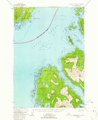
Editions of this 1948 Mount Fairweather A-2 Map
3 editions found
Other maps of this area

1948 · Mount Fairweather A-2
USGS Topo · 1:63,360

1948 · Mount Fairweather B-1
USGS Topo · 1:63,360

1948 · Mount Fairweather B-2
USGS Topo · 1:63,360

1948 · Sitka D-8
USGS Topo · 1:63,360

1948 · Mount Fairweather A-1
USGS Topo · 1:63,360

1950 · Sitka D-8
USGS Topo · 1:63,360

1951 · Sitka D-7
USGS Topo · 1:63,360

1951 · Mt Fairweather
USGS Topo · 1:250,000

1951 · Sitka
USGS Topo · 1:250,000

1952 · Sitka
USGS Topo · 1:250,000