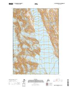
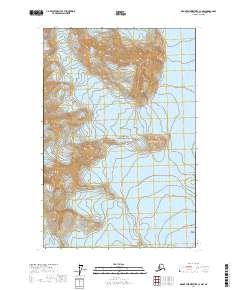
2017 Map of Mount Fairweather D-3 SW
USGS Topo · Published 2017About this map
Glacier Bay National Park encompasses this high-altitude landscape, where massive ice fields and steep peaks dominate the terrain. The sheet is defined by the convergence of the Fairweather Range and the southern reaches of the Saint Elias Mountains, creating a complex network of glacial flows. Large ice systems including Lamplugh Glacier, Hoonah Glacier, and Kashoto Glacier carve through the mountain passes, while Gilman Glacier occupies the southwestern quadrant. These massive frozen rivers shape the drainage patterns of the region, feeding smaller waterways such as Ptarmigan Cr. Significant elevations are marked by landmarks like Mt Cooper and Mt Parker, providing a detailed record of the ice-and-rock topography within the Hoonah-Angoon Census Area during the early 21st century.
Find a feature on this map
16 named features on this map. Tap any name to fly to it.
Don’t see what you’re looking for? This feature index may not catch every label — zoom into the map to look around manually.
Map Details
Editions of this 2017 Mount Fairweather D-3 SW Map
This is the sole edition of this map. No revisions or reprints were ever made.
Other maps of this area

1951 · Mt Fairweather
USGS Topo · 1:250,000

1961 · Mount Fairweather D-4
USGS Topo · 1:63,360

1961 · Mount Fairweather C-4
USGS Topo · 1:63,360

1961 · Mount Fairweather C-3
USGS Topo · 1:63,360

1961 · Mount Fairweather D-3
USGS Topo · 1:63,360

1961 · Mt Fairweather
USGS Topo · 1:250,000
2017 · Mount Fairweather D-4 SE
USGS Topo · 1:25,000
2017 · Mount Fairweather D-4 NE
USGS Topo · 1:25,000
2017 · Mount Fairweather C-4 NE
USGS Topo · 1:25,000
2017 · Mount Fairweather C-3 NW
USGS Topo · 1:25,000