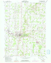
1961 Map of Mount Gilead
USGS Topo · Published 1991About this map
Mount Gilead serves as the focal point of this Morrow County landscape, situated at the confluence of local history and early surveyor boundaries. The Greenville Treaty Line bisects the southern portion of the map, marking a significant historical frontier between the United States Military District and the Congress Lands to the north. This division is reflected in the land patterns near Center Corners and the winding course of Big Walnut Creek.
Find a feature on this map
53 named features on this map. Tap any name to fly to it.
Don’t see what you’re looking for? This feature index may not catch every label — zoom into the map to look around manually.
Map Details
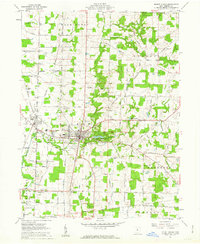
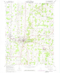
Editions of this 1961 Mount Gilead Map
3 editions found
Other maps of this area

1913 · Mount Gilead
USGS Topo · 1:62,500

1915 · Shauck
USGS Topo · 1:62,500

1915 · Marengo
USGS Topo · 1:62,500

1915 · Fredericktown
USGS Topo · 1:62,500

1916 · Mount Gilead
USGS Topo · 1:62,500

1943 · Shauck
USGS Topo · 1:62,500

1943 · Marengo
USGS Topo · 1:62,500

1943 · Mount Gilead
USGS Topo · 1:62,500

1943 · Fredericktown
USGS Topo · 1:62,500

1950 · Marion
USGS Topo · 1:250,000