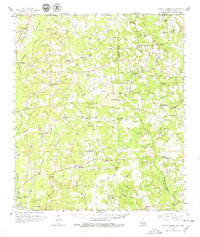
1958 Map of Mount Hermon
USGS Topo · Published 1979About this map
The Illinois Central railroad corridor anchors the western edge of this 1950s landscape, connecting the agricultural communities of Kentwood and Roseland. This rural expanse at the Mississippi and Louisiana border is defined by a dense network of family-name cemeteries and country churches, reflecting a deeply rooted settlement pattern. The terrain is dissected by the Tangipahoa River and the headwaters of the Tchefuncta River, with numerous small waterways such as Silver Creek and Carson Creek carving the landscape.
Find a feature on this map
181 named features on this map. Tap any name to fly to it.
Don’t see what you’re looking for? This feature index may not catch every label — zoom into the map to look around manually.
Map Details
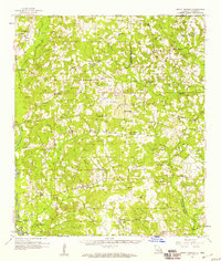
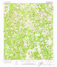
Editions of this 1958 Mount Hermon Map
3 editions found
Other maps of this area

1939 · Sunny Hill
USGS Topo · 1:31,680

1939 · Clifton
USGS Topo · 1:31,680

1940 · Spring Creek
USGS Topo · 1:31,680

1940 · Roseland
USGS Topo · 1:31,680

1942 · Roseland
USGS Topo · 1:31,680

1942 · Husser
USGS Topo · 1:31,680

1942 · Wilmer
USGS Topo · 1:31,680

1942 · Loranger
USGS Topo · 1:31,680

1949 · Bolivar
USGS Topo · 1:31,680

1949 · Amite
USGS Topo · 1:31,680