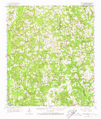
1958 Map of Mount Hermon
USGS Topo · Published 1967About this map
The Tangipahoa River and the Illinois Central railroad corridor define the western edge of this territory during the late 1950s. This survey documents a rural landscape where small communities like Kentwood, Roseland, and Chesbrough are anchored by timber and agricultural lands. The eastern portion of the sheet is marked by the Tchefuncta River headwaters and a high concentration of family-named cemeteries and rural congregations, including Beulah Ch Cem and Crystal Springs Ch. These features suggest a well-established social fabric of localized kinship and faith networks. High points in the terrain are utilized for regional monitoring, notably at the Sunny Hill Lookout Tower. Numerous smaller settlements such as Sunny Hill, Bolivar, and Wilmer are connected by a network of local roads crossing numerous drainages like Silver Creek and Chappapeela Creek.
Find a feature on this map
103 named features on this map. Tap any name to fly to it.
Don’t see what you’re looking for? This feature index may not catch every label — zoom into the map to look around manually.
Map Details
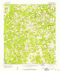
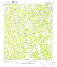
Editions of this 1958 Mount Hermon Map
3 editions found
Other maps of this area

1939 · Sunny Hill
USGS Topo · 1:31,680

1939 · Clifton
USGS Topo · 1:31,680

1940 · Spring Creek
USGS Topo · 1:31,680

1940 · Roseland
USGS Topo · 1:31,680

1942 · Roseland
USGS Topo · 1:31,680

1942 · Husser
USGS Topo · 1:31,680

1942 · Wilmer
USGS Topo · 1:31,680

1942 · Loranger
USGS Topo · 1:31,680

1949 · Bolivar
USGS Topo · 1:31,680

1949 · Amite
USGS Topo · 1:31,680