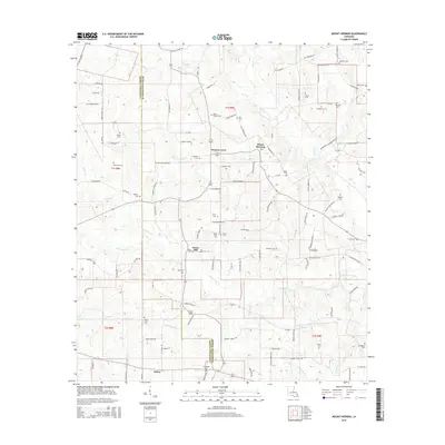
2015 Map of Mount Hermon
USGS Topo · Published 2015About this map
The Tchefuncte River winds through the southern reaches of this landscape near Bailey, marking a terrain defined by numerous small waterways such as Little Silver Creek and Wilson Br. This 2015 survey reveals a rural area along the border of Tangipahoa Parish and Washington Parish, where the settlement at Mount Hermon and the nearby Porters Curve serve as local landmarks.
Find a feature on this map
115 named features on this map. Tap any name to fly to it.
Don’t see what you’re looking for? This feature index may not catch every label — zoom into the map to look around manually.
Map Details
Editions of this 2015 Mount Hermon Map
This is the sole edition of this map. No revisions or reprints were ever made.
Other maps of this area

1939 · Sunny Hill
USGS Topo · 1:31,680

1939 · Clifton
USGS Topo · 1:31,680

1940 · Spring Creek
USGS Topo · 1:31,680

1942 · Wilmer
USGS Topo · 1:31,680

1949 · Bolivar
USGS Topo · 1:31,680

1950 · Franklinton
USGS Topo · 1:31,680

1953 · Natchez
USGS Topo · 1:250,000

1954 · Baton Rouge
USGS Topo · 1:250,000

1956 · Natchez
USGS Topo · 1:250,000

1956 · Baton Rouge
USGS Topo · 1:250,000