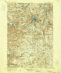
1927 Map of Mount Hood
USGS Topo · Published 1931About this map
Mt Hood stands at the center of this 1920s-era survey, revealing the early infrastructure of the surrounding Mt Hood National Forest and the northern edge of the Warm Springs Indian Reservation. The map captures the transition of the landscape from a frontier transit corridor into a premier mountain destination, anchored by early lodgings like the Cloud Cap Inn and Homestead Inn. The historic route of the Barlow Road is clearly traced, winding through the valley near Government Camp and Rhododendron, reflecting its enduring role as a primary passage over the Cascades. Higher elevations show the glacial systems of the peak alongside essential resource management outposts such as the Zigzag Ranger Station and Summit Ranger Sta. To the north and west, the importance of water management is evident in the protected basin of Bull Run Lake and the various forks of the Sandy and Zigzag rivers.
Find a feature on this map
75 named features on this map. Tap any name to fly to it.
Don’t see what you’re looking for? This feature index may not catch every label — zoom into the map to look around manually.
Map Details
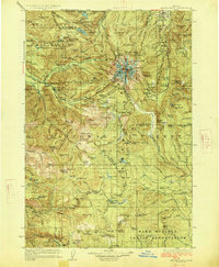
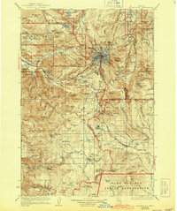
Editions of this 1927 Mount Hood Map
4 editions found
Other maps of this area

1916 · Estacada
USGS Topo · 1:125,000

1924 · Mount Hood
USGS Topo · 1:125,000

1926 · Hood River
USGS Topo · 1:125,000

1927 · Mount Hood
USGS Topo · 1:125,000

1927 · Mt. Jefferson
USGS Topo · 1:125,000

1928 · Madras
USGS Topo · 1:125,000

1929 · Mill City
USGS Topo · 1:125,000

1929 · Hood River
USGS Topo · 1:125,000

1930 · Mt. Jefferson
USGS Topo · 1:125,000

1930 · Dufur
USGS Topo · 1:125,000