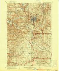
1927 Map of Mount Hood
USGS Topo · Published 1944About this map
MT Hood dominates this mid-1920s survey, surrounded by the ice of the Eliot Glacier and Zigzag Glacier. The map documents a pivotal moment in the mountain's recreational development, showing landmark structures like the Cloud Cap Inn and Timberline Lodge. In the valleys below, small settlements such as Rhododendron, Welches, and Government Camp are shown along the developing road system. The presence of the Bull Run Division highlights the early protection of the watershed for Portland's water supply, specifically around Bull Run Lake. Historic transport routes are clearly delineated, including the famous Barlow Road and the MT Hood Loop Highway, illustrating the transition from pioneer wagon paths to modern automotive access. To the south, the map extends into the Warm Springs Indian Reservation, marking a diverse landscape of peaks and alpine lakes like Clear Lake and Timothy Lake.
Find a feature on this map
188 named features on this map. Tap any name to fly to it.
Don’t see what you’re looking for? This feature index may not catch every label — zoom into the map to look around manually.
Map Details
Editions of this 1927 Mount Hood Map
4 editions found
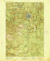
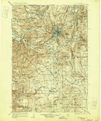
Other maps of this area

1916 · Estacada
USGS Topo · 1:125,000

1924 · Mount Hood
USGS Topo · 1:125,000

1926 · Hood River
USGS Topo · 1:125,000

1927 · Mount Hood
USGS Topo · 1:125,000

1927 · Mt. Jefferson
USGS Topo · 1:125,000

1928 · Madras
USGS Topo · 1:125,000

1929 · Mill City
USGS Topo · 1:125,000

1929 · Hood River
USGS Topo · 1:125,000

1930 · Mt. Jefferson
USGS Topo · 1:125,000

1930 · Dufur
USGS Topo · 1:125,000