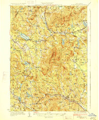
1928 Map of Mount Kearsarge
USGS Topo · Published 1928About this map
Ragged Mtn and the massive profile of Mount Kearsarge dominate this central New Hampshire landscape, where 1920s topography reveals a transition from traditional upland farming to a village-centered economy. The Boston and Maine RR serves as the primary artery for the region, threading through the Blackwater River valley to connect stops like Potter Place, Gale Sta, and Halcyon Sta. These rail links were vital for small industrial clusters such as Cilleyville and Wilmot Flat, which thrived alongside established settlements like Andover and New London.
Find a feature on this map
164 named features on this map. Tap any name to fly to it.
Don’t see what you’re looking for? This feature index may not catch every label — zoom into the map to look around manually.
Map Details
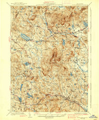
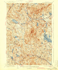
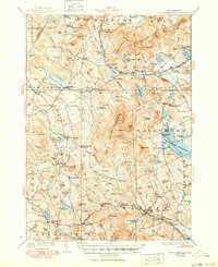
Editions of this 1928 Mount Kearsarge Map
5 editions found

Other maps of this area

1902 · Sunapee
USGS Topo · 1:62,500

1905 · Sunapee
USGS Topo · 1:62,500

1907 · Sunapee
USGS Topo · 1:62,500

1925 · Holderness
USGS Topo · 1:62,500

1926 · Hillsboro
USGS Topo · 1:62,500

1927 · Concord
USGS Topo · 1:62,500

1927 · Penacook
USGS Topo · 1:62,500

1927 · Holderness
USGS Topo · 1:62,500

1927 · Cardigan
USGS Topo · 1:62,500

1927 · Mascoma
USGS Topo · 1:62,500