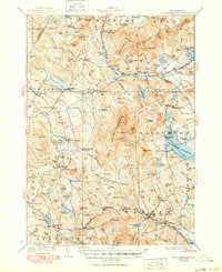
1928 Map of Mount Kearsarge
USGS Topo · Published 1950About this map
Meetinghouse Hill and the numerous family-named peaks of central New Hampshire define this landscape surveyed in the mid-1920s. The region is marked by a dense network of local schools, such as Langley School and Tory Hill School, alongside industry-rooted junctions like Tannery Pl and Shingle Mill Corner. The Boston and Maine RR serves as the primary artery through the valley, connecting settlements like Potter Place, Cilleyville, and Melvin Mills.
Find a feature on this map
156 named features on this map. Tap any name to fly to it.
Don’t see what you’re looking for? This feature index may not catch every label — zoom into the map to look around manually.
Map Details
Editions of this 1928 Mount Kearsarge Map
5 editions found

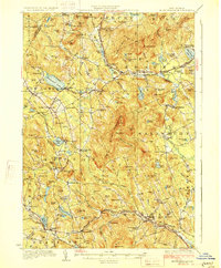
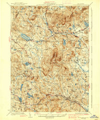
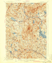
Other maps of this area

1902 · Sunapee
USGS Topo · 1:62,500

1905 · Sunapee
USGS Topo · 1:62,500

1907 · Sunapee
USGS Topo · 1:62,500

1925 · Holderness
USGS Topo · 1:62,500

1926 · Hillsboro
USGS Topo · 1:62,500

1927 · Concord
USGS Topo · 1:62,500

1927 · Penacook
USGS Topo · 1:62,500

1927 · Holderness
USGS Topo · 1:62,500

1927 · Cardigan
USGS Topo · 1:62,500

1927 · Mascoma
USGS Topo · 1:62,500