
1928 Map of Mount Kearsarge
USGS Topo · Published 1928About this map
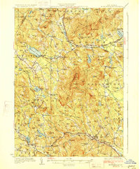
Ragged Mtn and the heights around Mount Kearsarge dominate this central New Hampshire landscape, where the Boston and Maine RR follows the winding path of the Blackwater River. The rail line connects small settlements like Potter Place, Cilleyville, and West Andover, serving as the primary corridor for commerce and travel during the late 1920s. To the south, the Warner River valley supports a cluster of hamlets including Melvin Mills and Waterloo, while large water bodies like Massasecum Lake and Pleasant Lake hint at the region's developing recreational character.
Find a feature on this map
150 named features on this map. Tap any name to fly to it.
Don’t see what you’re looking for? This feature index may not catch every label — zoom into the map to look around manually.
Map Details
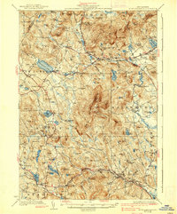
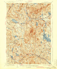
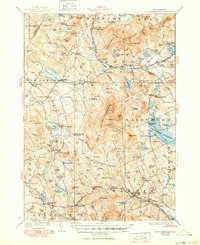
Editions of this 1928 Mount Kearsarge Map
5 editions found
Other maps of this area

1902 · Sunapee
USGS Topo · 1:62,500

1905 · Sunapee
USGS Topo · 1:62,500

1907 · Sunapee
USGS Topo · 1:62,500

1925 · Holderness
USGS Topo · 1:62,500

1926 · Hillsboro
USGS Topo · 1:62,500

1927 · Concord
USGS Topo · 1:62,500

1927 · Penacook
USGS Topo · 1:62,500

1927 · Holderness
USGS Topo · 1:62,500

1927 · Cardigan
USGS Topo · 1:62,500

1927 · Mascoma
USGS Topo · 1:62,500