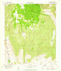
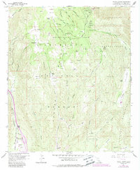
1960 Map of Mount Laguna
USGS Topo · Published 1961About this map
The high country of the Cleveland National Forest dominates this 1960s study, anchored by the Mt Laguna Air Force Station near the summit of Mt Laguna. This area of the Peninsular Ranges shows a landscape where ranching and early recreation coexist within federal and tribal lands. Private holdings like Crouch Ranch and Morris Ranch are set against the Cuyapaipe Indian Reservation and La Posta Indian Reservation.
Find a feature on this map
66 named features on this map. Tap any name to fly to it.
Don’t see what you’re looking for? This feature index may not catch every label — zoom into the map to look around manually.
Map Details
Editions of this 1960 Mount Laguna Map
5 editions found
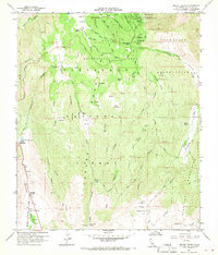
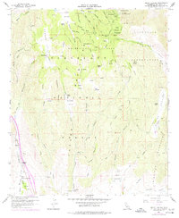
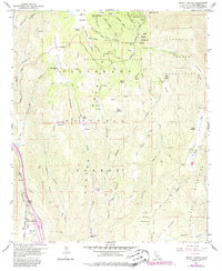
Other maps of this area

1903 · Cuyamaca
USGS Topo · 1:125,000

1904 · Southern California Sheet No. 2
USGS Topo · 1:250,000

1931 · Carrizo
USGS Topo · 1:125,000

1939 · Campo
USGS Topo · 1:62,500

1942 · Potrero
USGS Topo · 1:48,000

1942 · Campo
USGS Topo · 1:62,500

1942 · Cuyapaipe
USGS Topo · 1:62,500

1942 · Cuyamaca Peak
USGS Topo · 1:62,500

1944 · Potrero
USGS Topo · 1:62,500

1944 · Cuyamaca Peak
USGS Topo · 1:62,500