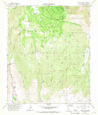
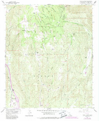
1960 Map of Mount Laguna
USGS Topo · Published 1968About this map
Mt Laguna Air Force Station and the high-altitude community of Mt Laguna anchor this 1960 field-checked survey of the Laguna Mountains. The landscape is a network of sprawling ranch lands and federal forest, where the Sunrise Highway winds through the Laguna Recreation Area and Cleveland National Forest. Evidence of a long-standing pastoral economy is visible in the numerous family holdings, including Laguna Ranch, Crouch Ranch, and Morris Ranch, alongside specialized sites like the Rodeo Grounds near Troy Valley.
Find a feature on this map
71 named features on this map. Tap any name to fly to it.
Don’t see what you’re looking for? This feature index may not catch every label — zoom into the map to look around manually.
Map Details
Editions of this 1960 Mount Laguna Map
5 editions found
Other maps of this area

1903 · Cuyamaca
USGS Topo · 1:125,000

1904 · Southern California Sheet No. 2
USGS Topo · 1:250,000

1931 · Carrizo
USGS Topo · 1:125,000

1939 · Campo
USGS Topo · 1:62,500

1942 · Potrero
USGS Topo · 1:48,000

1942 · Campo
USGS Topo · 1:62,500

1942 · Cuyapaipe
USGS Topo · 1:62,500

1942 · Cuyamaca Peak
USGS Topo · 1:62,500

1944 · Potrero
USGS Topo · 1:62,500

1944 · Cuyamaca Peak
USGS Topo · 1:62,500