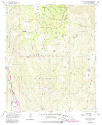
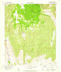
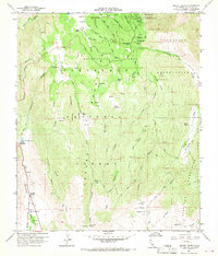
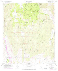
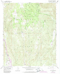
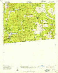
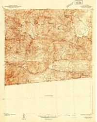
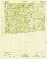
1960 Map of Mount Laguna
USGS Topo · Published 1985About this map
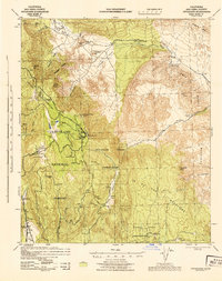
Laguna Mountain Recreation Area serves as the focal point for this survey of the high country east of San Diego. The landscape is defined by the Sunrise Highway and a series of working family ranches that illustrate the mid-century land use of the region, including Laguna Ranch, Crouch Ranch, and Flinn Ranch. These settlements are interspersed among high-altitude meadows like Laguna Meadow and Joy Meadow, which were essential for seasonal grazing.
Find a feature on this map
61 named features on this map. Tap any name to fly to it.
Don’t see what you’re looking for? This feature index may not catch every label — zoom into the map to look around manually.
Map Details
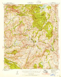
Editions of this 1960 Mount Laguna Map
5 editions found
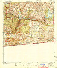
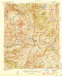
Other maps of this area

1903 · Cuyamaca
USGS Topo · 1:125,000

1904 · Southern California Sheet No. 2
USGS Topo · 1:250,000

1931 · Carrizo
USGS Topo · 1:125,000
1939 · Campo
USGS Topo · 1:62,500
1942 · Potrero
USGS Topo · 1:48,000
1942 · Campo
USGS Topo · 1:62,500
1942 · Cuyapaipe
USGS Topo · 1:62,500
1942 · Cuyamaca Peak
USGS Topo · 1:62,500
1944 · Potrero
USGS Topo · 1:62,500
1944 · Cuyamaca Peak
USGS Topo · 1:62,500