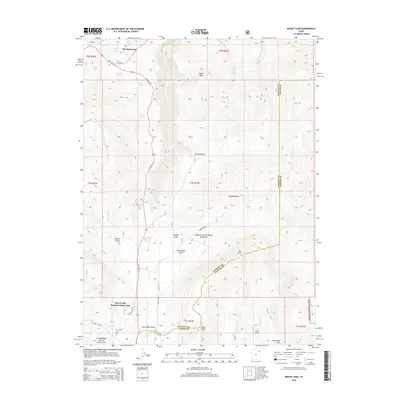
2014 Map of Mount Lena
USGS Topo · Published 2014About this map
The Ashley National Forest covers the majority of this landscape along the border of Daggett and Uintah Counties, centered around the high elevation of Mt Lena. In the northern reaches, the terrain descends toward Flaming Gorge, where the Greendale Canal and numerous water sources like Willie Spring and Chicken Spring supported early water management and ranching. The Deer Lodge Summer Home Area stands out as a concentrated point of seasonal settlement among the surrounding wilderness, connected to the wider region by US Hwy 191. The topography is defined by deep drainages and ridges, including Grizzly Ridge Winter Sports Area and notable peaks such as Speirs Peak and Limber Flag. These landmarks illustrate the area's transition from recreational winter use to summer retreats and high-desert water infrastructure.
Find a feature on this map
34 named features on this map. Tap any name to fly to it.
Don’t see what you’re looking for? This feature index may not catch every label — zoom into the map to look around manually.
Map Details
Editions of this 2014 Mount Lena Map
This is the sole edition of this map. No revisions or reprints were ever made.
Other maps of this area

1885 · Ashley
USGS Topo · 1:250,000

1906 · Marsh Peak
USGS Topo · 1:125,000

1908 · Marsh Peak
USGS Topo · 1:125,000

1950 · Burnt Cabin Gorge
USGS Topo · 1:24,000

1950 · Blair Basin
USGS Topo · 1:24,000

1950 · Dyer Mountain
USGS Topo · 1:24,000

1952 · Dutch John Mtn
USGS Topo · 1:24,000

1952 · Goslin Mtn
USGS Topo · 1:24,000

1952 · Flaming Gorge
USGS Topo · 1:24,000

1954 · Vernal
USGS Topo · 1:250,000