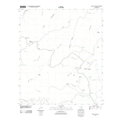
2010 Map of Mount Locke
USGS Topo · Published 2010About this map
Mount Locke serves as the prominent high-altitude anchor for this West Texas landscape, notably housing the McDonald Observatory along State Spur 78. The terrain is characterized by the massive peaks and drainage systems of the Davis Mountains, where deep cuts like Madera Canyon and Limpia Canyon provide critical passage through the high country. Ranching operations define the human presence, marked by the Caldwell Ranch and the Eppenauer Ranch. Water management is essential in this arid environment, evidenced by a dense network of windmills and catchment tanks such as the Salcido Windmill, Agua Blanca Tank, and Pete Trap Windmill. Remote trails, including the Tejano Trl and Yellow Knife Trl, navigate the complex topography of Gavina Ridge and Fisher Hill, reflecting the area's continued use for scientific observation and cattle operations.
Find a feature on this map
51 named features on this map. Tap any name to fly to it.
Don’t see what you’re looking for? This feature index may not catch every label — zoom into the map to look around manually.
Map Details
Editions of this 2010 Mount Locke Map
This is the sole edition of this map. No revisions or reprints were ever made.
Other maps of this area

1894 · Valentine
USGS Topo · 1:125,000

1894 · Fort Davis
USGS Topo · 1:125,000

1897 · Valentine
USGS Topo · 1:125,000

1897 · Fort Davis
USGS Topo · 1:125,000

1943 · Valentine
USGS Topo · 1:125,000

1954 · Fort Stockton
USGS Topo · 1:250,000

1958 · Fort Stockton
USGS Topo · 1:250,000

1959 · Marfa
USGS Topo · 1:250,000

1965 · Marfa
USGS Topo · 1:250,000

1972 · Casket Mountain
USGS Topo · 1:24,000