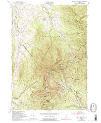
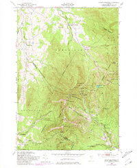
1948 Map of Mount Mansfield
USGS Topo · Published 1992About this map
Mount Mansfield State Forest dominates this high-altitude topography, where the jagged peaks of the Green Mountains provide the backdrop for Vermont's developing outdoor recreation economy. In this 1948 survey, the landscape is defined by the proximity of the Long Trail to the iconic summit points of The Chin and The Nose. The presence of the Toll House, State Ski Dormitory, and Taft Lodge highlights the area's transition into a destination for alpine sport and conservation. While the high ridges are sparsely settled, the valleys contain evidence of older rural life, including the Harvey Sch and the Morses Mill site. Glacial legacies are preserved in the named features of the pass, from the tight passage of Smugglers Notch to the isolated waters of Lake of the Clouds and Sterling Pond.
Find a feature on this map
50 named features on this map. Tap any name to fly to it.
Don’t see what you’re looking for? This feature index may not catch every label — zoom into the map to look around manually.
Map Details
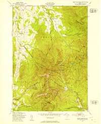
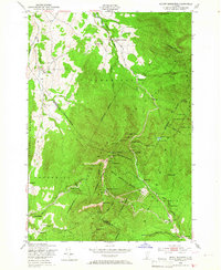
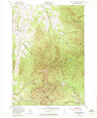
Editions of this 1948 Mount Mansfield Map
6 editions found
Other maps of this area

1919 · Montpelier
USGS Topo · 1:62,500

1921 · Richmond
USGS Topo · 1:48,000

1921 · Montpelier
USGS Topo · 1:62,500

1924 · Camels Hump
USGS Topo · 1:62,500

1925 · Mount Mansfield
USGS Topo · 1:48,000

1927 · Mount Mansfield
USGS Topo · 1:62,500

1927 · Hyde Park
USGS Topo · 1:48,000

1930 · Hyde Park
USGS Topo · 1:62,500
1943 · Hyde Park
USGS Topo · 1:62,500

1944 · Montpelier
USGS Topo · 1:62,500