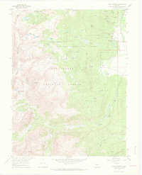
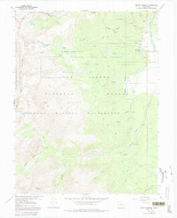
1967 Map of Mount Massive
USGS Topo · Published 1972About this map
The Leadville National Fish Hatchery and its associated water structures, including Evergreen Lakes and Lily Pond, anchor the eastern slopes of this high-altitude landscape. Established in the late 19th century, the hatchery’s complex layout is shown alongside engineering feats like the Carlton Tunnel and Busk-Ivanhoe Tunnel, which cut through the Continental Divide to manage water and transportation across the mountains.
Find a feature on this map
51 named features on this map. Tap any name to fly to it.
Don’t see what you’re looking for? This feature index may not catch every label — zoom into the map to look around manually.
Map Details
Editions of this 1967 Mount Massive Map
5 editions found
Other maps of this area

1889 · Leadville
USGS Topo · 1:125,000

1891 · Leadville
USGS Topo · 1:125,000

1909 · Mount Jackson
USGS Topo · 1:125,000

1911 · Mount Jackson
USGS Topo · 1:125,000

1935 · Mount Elbert
USGS Topo · 1:62,500

1938 · Mount Elbert
USGS Topo · 1:62,500

1939 · Mount Elbert
USGS Topo · 1:62,500

1942 · Leadville
USGS Topo · 1:125,000

1949 · Holy Cross
USGS Topo · 1:62,500

1951 · Holy Cross
USGS Topo · 1:62,500