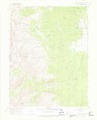
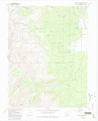
1967 Map of Mount Massive
USGS Topo · Published 1975About this map
The Leadville National Fish Hatchery anchors the high-altitude landscape of Lake County, sitting at the base of the massive mountain peaks that define the Continental Divide. This 1960s-era documentation highlights a region where industrial mining and water management intersect with wilderness preservation. Significant engineering is evident in the Carlton Tunnel and Siwatch Tunnel, which pierce the subterranean layers near the border of the White River National Forest.
Find a feature on this map
49 named features on this map. Tap any name to fly to it.
Don’t see what you’re looking for? This feature index may not catch every label — zoom into the map to look around manually.
Map Details
Editions of this 1967 Mount Massive Map
5 editions found
Other maps of this area

1889 · Leadville
USGS Topo · 1:125,000

1891 · Leadville
USGS Topo · 1:125,000

1909 · Mount Jackson
USGS Topo · 1:125,000

1911 · Mount Jackson
USGS Topo · 1:125,000

1935 · Mount Elbert
USGS Topo · 1:62,500

1938 · Mount Elbert
USGS Topo · 1:62,500

1939 · Mount Elbert
USGS Topo · 1:62,500

1942 · Leadville
USGS Topo · 1:125,000

1949 · Holy Cross
USGS Topo · 1:62,500

1951 · Holy Cross
USGS Topo · 1:62,500