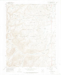
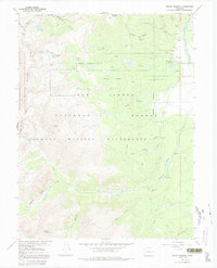
1967 Map of Mount Massive
USGS Topo · Published 1975About this map
The Leadville National Fish Hatchery stands as a prominent feature of this high-altitude landscape in the late 1960s, situated near the headwaters of Rock Creek. This area of the San Isabel National Forest and White River National Forest is defined by its complex alpine hydrology and engineering history. Infrastructure such as the Carlton Tunnel and Siwatch Tunnel pierce the mountain ranges, while the Old RR Grade reflects early transportation attempts through the Sawatch Range. Recreation and early industry intersect here, with the Halfmoon Campground providing access to the towering slopes of Mount Massive. To the north, the terrain rises toward Bald Eagle Mountain, overlooking a network of high-country water bodies including Windsor Lake and the Hidden Lakes. Evidence of mineral exploration persists through several prospects and the Prospect Mine located near Halfmoon Creek.
Find a feature on this map
49 named features on this map. Tap any name to fly to it.
Don’t see what you’re looking for? This feature index may not catch every label — zoom into the map to look around manually.
Map Details
Editions of this 1967 Mount Massive Map
5 editions found
Other maps of this area

1889 · Leadville
USGS Topo · 1:125,000

1891 · Leadville
USGS Topo · 1:125,000

1909 · Mount Jackson
USGS Topo · 1:125,000

1911 · Mount Jackson
USGS Topo · 1:125,000

1935 · Mount Elbert
USGS Topo · 1:62,500

1938 · Mount Elbert
USGS Topo · 1:62,500

1939 · Mount Elbert
USGS Topo · 1:62,500

1942 · Leadville
USGS Topo · 1:125,000

1949 · Holy Cross
USGS Topo · 1:62,500

1951 · Holy Cross
USGS Topo · 1:62,500