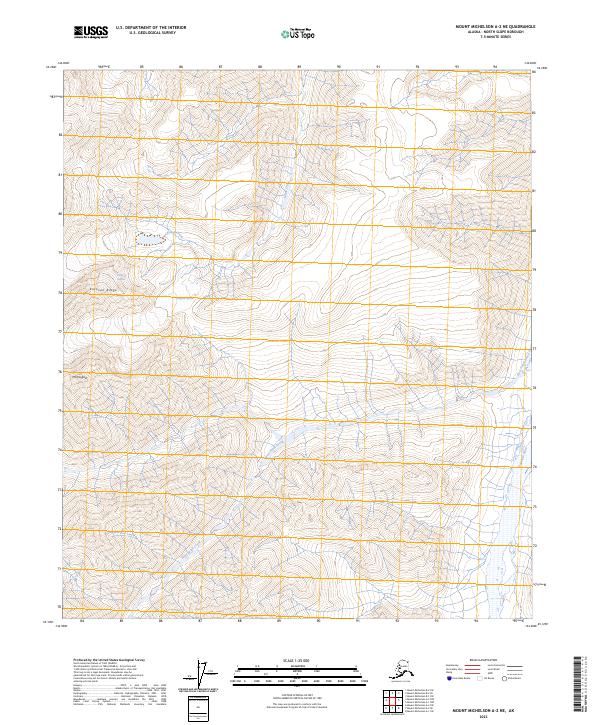
2023 Map of Mount Michelson A-2 NE
USGS Topo · Published 2023About this map
Mt Pangnik and the high alpine ridges of the Brooks Range dominate this modern survey of the North Slope. The landscape is defined by the slow movement of ice and water, featuring the Kuluvok Glacier and the Pangnik Glacier which feed into a complex system of drainages. Located within the Arctic National Wildlife Refuge, this area represents a preserved wilderness where the Hulahula River and West Patuk Creek carve through the steep topography of the Mollie Beattie Wilderness. The map reveals the intricate contouring of Kuluvok Ridge and the headwaters of Katak Creek, providing a detailed look at the geomorphology of Alaska's northernmost mountain chain.
Find a feature on this map
15 named features on this map. Tap any name to fly to it.
Don’t see what you’re looking for? This feature index may not catch every label — zoom into the map to look around manually.
Map Details
Editions of this 2023 Mount Michelson A-2 NE Map
This is the sole edition of this map. No revisions or reprints were ever made.
Other maps of this area

1951 · Mt. Michelson
USGS Topo · 1:250,000

1955 · Mount Michelson B-1
USGS Topo · 1:63,360

1956 · Mt. Michelson
USGS Topo · 1:250,000

1956 · Mount Michelson B-2
USGS Topo · 1:63,360
1983 · Mount Michelson A-1
USGS Topo · 1:63,360

1983 · Mount Michelson A-2
USGS Topo · 1:63,360
2018 · Mount Michelson B-2 SE
USGS Topo · 1:25,000
2018 · Mount Michelson B-2 SW
USGS Topo · 1:25,000
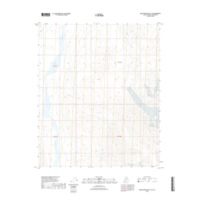
2018 · Mount Michelson B-1 SW
USGS Topo · 1:25,000
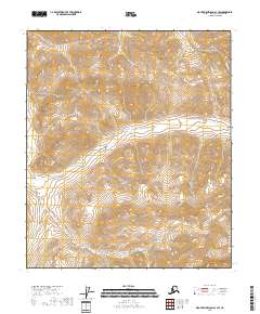
2018 · Mount Michelson A-1 SW
USGS Topo · 1:25,000