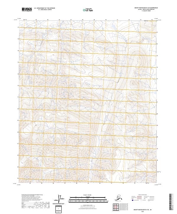
2023 Map of Mount Michelson B-2 SE
USGS Topo · Published 2023About this map
Mollie-Beattie Wilderness and the Arctic National Wildlife Refuge define the high-latitude terrain of this North Slope region. The landscape is dominated by high-elevation drainage systems, where the waters of Karen Creek and Katak Creek navigate through steep topographic contours. This 2023 survey by the U.S. Geological Survey illustrates the complex hydrology of the Brooks Range foothills, showcasing how these alpine streams have carved distinct paths through the protected wilderness areas. The map provides a precise modern look at the remote glacial-carved valleys and ridges within the public land survey system blocks t1s r30e and t2s r31e, offering a clear view of the natural borders and watercourses that shape this preserved Alaskan environment.
Find a feature on this map
8 named features on this map. Tap any name to fly to it.
Don’t see what you’re looking for? This feature index may not catch every label — zoom into the map to look around manually.
Map Details
Editions of this 2023 Mount Michelson B-2 SE Map
This is the sole edition of this map. No revisions or reprints were ever made.
Other maps of this area

1951 · Mt. Michelson
USGS Topo · 1:250,000

1955 · Mount Michelson B-1
USGS Topo · 1:63,360

1956 · Mt. Michelson
USGS Topo · 1:250,000

1956 · Mount Michelson B-2
USGS Topo · 1:63,360
1983 · Mount Michelson A-1
USGS Topo · 1:63,360

1983 · Mount Michelson A-2
USGS Topo · 1:63,360
2018 · Mount Michelson B-2 SE
USGS Topo · 1:25,000
2018 · Mount Michelson B-2 SW
USGS Topo · 1:25,000
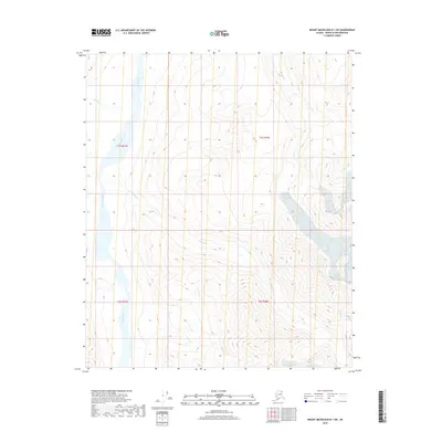
2018 · Mount Michelson B-1 SW
USGS Topo · 1:25,000
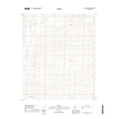
2018 · Mount Michelson A-1 NW
USGS Topo · 1:25,000