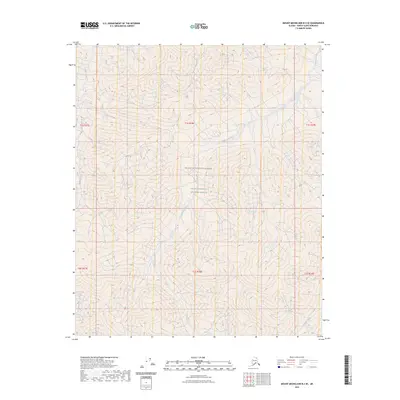
2023 Map of Mount Michelson B-3 SE
USGS Topo · Published 2023About this map
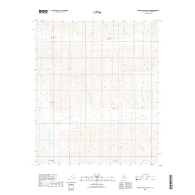
The Mollie Beattie Wilderness defines the interior landscape of this North Slope region, held within the expansive boundaries of the Arctic National Wildlife Refuge. The terrain is shaped by the northward flow of the Sadlerochit River, which dominates the central drainage of the quadrangle. This watercourse is joined by smaller tributaries, including Eagle Creek in the northwest and Whistler Creek in the southeast corner. The map documents a landscape entirely devoid of human-named settlements or industrial infrastructure, focusing instead on the complex topography and hydrological patterns of the Alaskan wilderness. The presence of the Wilderness Area designation underscores the protected status of this remote corridor, where the natural movement of the river systems remains the primary feature of interest for researchers and environmental historians.
Find a feature on this map
11 named features on this map. Tap any name to fly to it.
Don’t see what you’re looking for? This feature index may not catch every label — zoom into the map to look around manually.
Map Details
Editions of this 2023 Mount Michelson B-3 SE Map
This is the sole edition of this map. No revisions or reprints were ever made.
Other maps of this area

1951 · Mt. Michelson
USGS Topo · 1:250,000

1956 · Mt. Michelson
USGS Topo · 1:250,000

1956 · Mount Michelson B-2
USGS Topo · 1:63,360

1956 · Mount Michelson B-3
USGS Topo · 1:63,360

1983 · Mount Michelson A-3
USGS Topo · 1:63,360

1983 · Mount Michelson A-2
USGS Topo · 1:63,360
2018 · Mount Michelson B-2 SW
USGS Topo · 1:25,000
2018 · Mount Michelson A-2 NW
USGS Topo · 1:25,000
2018 · Mount Michelson B-2 NW
USGS Topo · 1:25,000
2018 · Mount Michelson A-3 NW
USGS Topo · 1:25,000