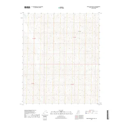
2018 Map of Mount Michelson B-3 SW
USGS Topo · Published 2018About this map
The Fourth Range defines this high-altitude landscape in the Brooks Range foothills, where the terrain is dominated by steep elevation gains and narrow drainage basins. Water systems such as Curve Creek and Eagle Cr carve through the deep valleys of the North Slope, illustrating the natural drainage patterns of this subarctic environment. The survey provides precise topographical data for several townships including t1s r27e and t2s r26e, tracing the path of Curve Cr as it winds across the western half of the quadrangle. This 2018 study is purely a natural record of landforms and hydrology, showing no permanent human infrastructure or settlements in this portion of the Alaska North Slope Borough.
Find a feature on this map
8 named features on this map. Tap any name to fly to it.
Don’t see what you’re looking for? This feature index may not catch every label — zoom into the map to look around manually.
Map Details
Editions of this 2018 Mount Michelson B-3 SW Map
This is the sole edition of this map. No revisions or reprints were ever made.
Other maps of this area

1951 · Mt. Michelson
USGS Topo · 1:250,000

1956 · Mt. Michelson
USGS Topo · 1:250,000

1956 · Mount Michelson B-3
USGS Topo · 1:63,360

1983 · Mount Michelson A-3
USGS Topo · 1:63,360
1983 · Mount Michelson A-4
USGS Topo · 1:63,360
1983 · Mount Michelson B-4
USGS Topo · 1:63,360
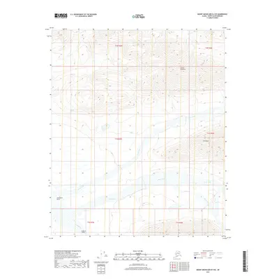
2018 · Mount Michelson B-4 NE
USGS Topo · 1:25,000
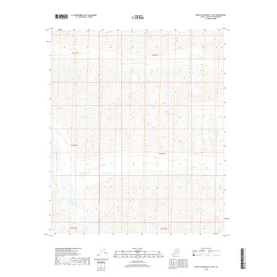
2018 · Mount Michelson A-3 NW
USGS Topo · 1:25,000
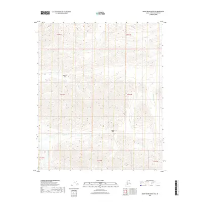
2018 · Mount Michelson B-3 NE
USGS Topo · 1:25,000
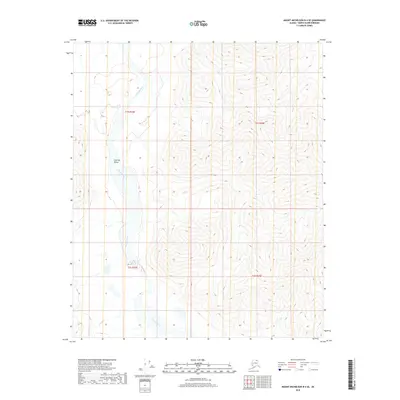
2018 · Mount Michelson B-4 SE
USGS Topo · 1:25,000