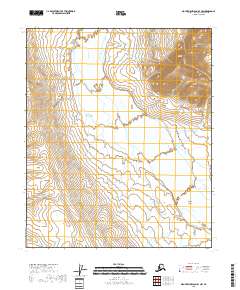
2018 Map of Mount Michelson B-4 NW
USGS Topo · Published 2018About this map
The Canning River dominates this Arctic landscape as it weaves through a series of expansive braided channels across the North Slope. Surveyed by the U.S. Geological Survey, this 2018 edition reveals the intricate drainage patterns where the river system expands around Shublik Island. This landform serves as a notable landmark within the river corridor, illustrating how sediment and water flow reshape the terrain over time. The map provides a precise layout of the Public Land Survey System, including t2n r24e and t1n r24e, which are critical for understanding land management and boundary history in this remote part of Alaska. While devoid of permanent settlements, the area is defined by its topographic detail and the shifting banks of the river valley.
Find a feature on this map
10 named features on this map. Tap any name to fly to it.
Don’t see what you’re looking for? This feature index may not catch every label — zoom into the map to look around manually.
Map Details
Editions of this 2018 Mount Michelson B-4 NW Map
This is the sole edition of this map. No revisions or reprints were ever made.
Other maps of this area

1951 · Mt. Michelson
USGS Topo · 1:250,000

1955 · Mount Michelson C-5
USGS Topo · 1:63,360

1955 · Mount Michelson C-4
USGS Topo · 1:63,360

1956 · Mt. Michelson
USGS Topo · 1:250,000
1971 · Mount Michelson B-5
USGS Topo · 1:63,360
1973 · Mount Michelson C-5
USGS Topo · 1:63,360

1978 · Mount Michelson C-4
USGS Topo · 1:63,360
1983 · Mount Michelson B-4
USGS Topo · 1:63,360
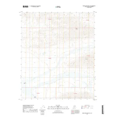
2018 · Mount Michelson B-4 NE
USGS Topo · 1:25,000
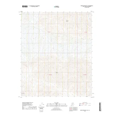
2018 · Mount Michelson C-4 SE
USGS Topo · 1:25,000