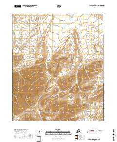
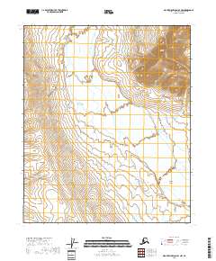
2018 Map of Mount Michelson B-5 SE
USGS Topo · Published 2018About this map
The Kavik River defines the northeastern corner of this high-latitude terrain within the North Slope Borough, where the landscape transitions into the sharp relief of the Brooks Range foothills. The drainages of Pogopik Cr and Cobble Cr flow northward through a series of steep mountain valleys and ridges, illustrating the stark hydrologic patterns of the Arctic interior. This 2018 survey documents a region defined by its isolation and lack of permanent infrastructure, highlighting the vast topographical barriers of the eastern North Slope. The detailed contour intervals reveal the intricate network of alpine watersheds and the severe geological structure of the mountain blocks between the river valleys.
Find a feature on this map
9 named features on this map. Tap any name to fly to it.
Don’t see what you’re looking for? This feature index may not catch every label — zoom into the map to look around manually.
Map Details
Editions of this 2018 Mount Michelson B-5 SE Map
This is the sole edition of this map. No revisions or reprints were ever made.
Other maps of this area

1951 · Mt. Michelson
USGS Topo · 1:250,000

1956 · Mt. Michelson
USGS Topo · 1:250,000
1971 · Mount Michelson A-5
USGS Topo · 1:63,360
1971 · Mount Michelson B-5
USGS Topo · 1:63,360
1983 · Mount Michelson A-4
USGS Topo · 1:63,360
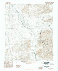
1983 · Mount Michelson B-4
USGS Topo · 1:63,360
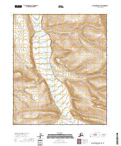
2018 · Mount Michelson B-5 NE
USGS Topo · 1:25,000
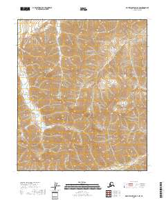
2018 · Mount Michelson A-4 NW
USGS Topo · 1:25,000
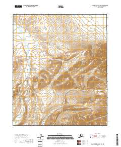
2018 · Mount Michelson B-4 SW
USGS Topo · 1:25,000
2018 · Mount Michelson B-4 NW
USGS Topo · 1:25,000