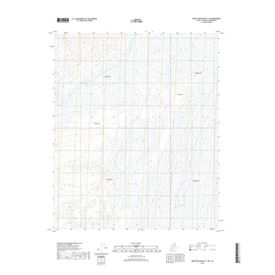
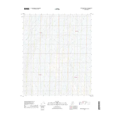
2018 Map of Mount Michelson C-1 SW
USGS Topo · Published 2018About this map
The Sadlerochit River flows through this remote stretch of the North Slope, carving a path through a landscape defined by significant topographic shifts. To the south, the terrain rises sharply at Kingak Cliff, while Kingak Hill stands as a prominent landmark overlooking the surrounding wetlands. This 2018 survey documents a region where water and ice are the primary architects of the land, with the Hulahula River and Arctic Cr draining the northern slopes toward the Beaufort Sea. The map highlights the vast, unpopulated character of this wilderness, primarily used for environmental study and subsistence, showing no permanent settlements or industrial infrastructure beyond the township and range lines of the Public Land Survey System.
Find a feature on this map
9 named features on this map. Tap any name to fly to it.
Don’t see what you’re looking for? This feature index may not catch every label — zoom into the map to look around manually.
Map Details
Editions of this 2018 Mount Michelson C-1 SW Map
This is the sole edition of this map. No revisions or reprints were ever made.
Other maps of this area

1951 · Mt. Michelson
USGS Topo · 1:250,000

1955 · Mount Michelson B-1
USGS Topo · 1:63,360

1955 · Mount Michelson C-1
USGS Topo · 1:63,360

1955 · Mount Michelson C-2
USGS Topo · 1:63,360

1956 · Mt. Michelson
USGS Topo · 1:250,000

1956 · Mount Michelson B-2
USGS Topo · 1:63,360
2018 · Mount Michelson B-1 NE
USGS Topo · 1:25,000
2018 · Mount Michelson B-2 NE
USGS Topo · 1:25,000
2018 · Mount Michelson C-1 NW
USGS Topo · 1:25,000
2018 · Mount Michelson C-1 SE
USGS Topo · 1:25,000