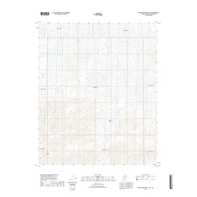
2018 Map of Mount Michelson C-2 NE
USGS Topo · Published 2018About this map
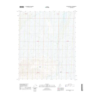
Mt Weller stands as a prominent geographic anchor in this remote Arctic landscape within the North Slope Borough. The terrain transitions from the high elevations of the southern peaks down into the Itkilyariak Valley, where a complex network of seasonal waterways defines the drainage patterns of the region. These streams, including Marsh Cr, Carter Cr, and Itkilyariak Cr, navigate the coastal plain toward the Beaufort Sea. The cartography reveals a wilderness largely untouched by permanent settlement or infrastructure, emphasizing the natural hydrography and elevation contours. Tracing the path of Weller Cr through the southern foothills provides insight into the rugged glacial and fluvial processes that continue to shape this portion of the Alaska North Slope.
Find a feature on this map
14 named features on this map. Tap any name to fly to it.
Don’t see what you’re looking for? This feature index may not catch every label — zoom into the map to look around manually.
Map Details
Editions of this 2018 Mount Michelson C-2 NE Map
This is the sole edition of this map. No revisions or reprints were ever made.
Other maps of this area

1951 · Mt. Michelson
USGS Topo · 1:250,000

1955 · Mount Michelson C-1
USGS Topo · 1:63,360

1955 · Mount Michelson C-2
USGS Topo · 1:63,360

1955 · Mount Michelson D-2
USGS Topo · 1:63,360

1955 · Mount Michelson D-1
USGS Topo · 1:63,360

1956 · Mt. Michelson
USGS Topo · 1:250,000
1962 · Mt. Michelson D-1
USGS Topo · 1:50,000
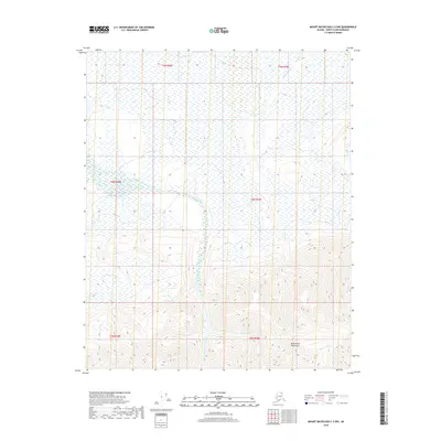
2018 · Mount Michelson C-2 NW
USGS Topo · 1:25,000
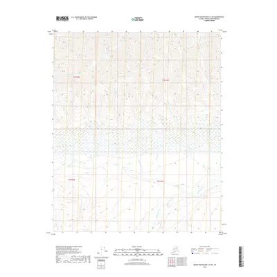
2018 · Mount Michelson C-2 SW
USGS Topo · 1:25,000
2018 · Mount Michelson C-1 NW
USGS Topo · 1:25,000