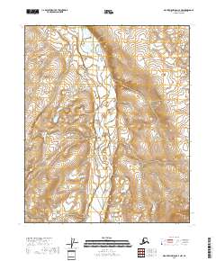
2018 Map of Mount Michelson C-4 NW
USGS Topo · Published 2018About this map
Canning River defines the central axis of this North Slope landscape, creating a braided corridor through a region dominated by wetlands and subtle topographic shifts. This 2018 survey documents the intricate hydrography of the Alaskan tundra, where the river's path is the primary landmark across several townships including t4n r24e and t5n r24e. The absence of developed roads or settlements emphasizes the transition between the vast coastal plain and the Brooks Range foothills to the south. For those studying the hydrology of the North Slope Borough, the map provides precise data on the shifting channels and seasonal floodplains that characterize this arctic drainage system.
Find a feature on this map
9 named features on this map. Tap any name to fly to it.
Don’t see what you’re looking for? This feature index may not catch every label — zoom into the map to look around manually.
Map Details
Editions of this 2018 Mount Michelson C-4 NW Map
This is the sole edition of this map. No revisions or reprints were ever made.
Other maps of this area

1951 · Mt. Michelson
USGS Topo · 1:250,000

1955 · Mount Michelson C-5
USGS Topo · 1:63,360

1955 · Mount Michelson D-5
USGS Topo · 1:63,360

1955 · Mount Michelson C-4
USGS Topo · 1:63,360

1955 · Mount Michelson D-4
USGS Topo · 1:63,360

1956 · Mt. Michelson
USGS Topo · 1:250,000
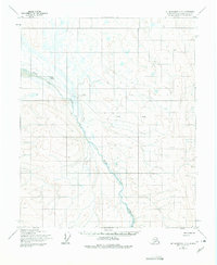
1973 · Mount Michelson C-5
USGS Topo · 1:63,360

1978 · Mount Michelson C-4
USGS Topo · 1:63,360
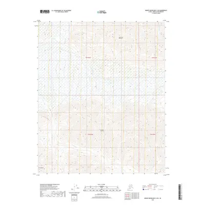
2018 · Mount Michelson C-4 SE
USGS Topo · 1:25,000
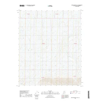
2018 · Mount Michelson C-4 NE
USGS Topo · 1:25,000