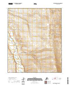
2018 Map of Mount Michelson C-5 SE
USGS Topo · Published 2018About this map
Kavik River meanders across the southwestern corner of this North Slope landscape, providing the primary hydrological landmark for the region. The map, based on data from the U.S. Geological Survey and SPOT imagery from 2009, documents the transition from the braided river valley into the surrounding uplands within the eastern sections of township T3N R22E and T2N R22E. The terrain is characterized by a dense network of wetlands and minor tributaries that feed the main river channel, illustrating the complex drainage patterns of the Alaskan tundra. While no permanent settlements or industrial sites are noted on this specific quadrangle, the precise mapping of the river's path offers essential data for understanding the environmental and physical geography of this remote portion of the North Slope Borough.
Find a feature on this map
5 named features on this map. Tap any name to fly to it.
Don’t see what you’re looking for? This feature index may not catch every label — zoom into the map to look around manually.
Map Details
Editions of this 2018 Mount Michelson C-5 SE Map
This is the sole edition of this map. No revisions or reprints were ever made.
Other maps of this area

1951 · Mt. Michelson
USGS Topo · 1:250,000

1955 · Mount Michelson C-5
USGS Topo · 1:63,360

1955 · Mount Michelson C-4
USGS Topo · 1:63,360

1956 · Mt. Michelson
USGS Topo · 1:250,000
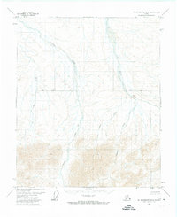
1971 · Mount Michelson B-5
USGS Topo · 1:63,360
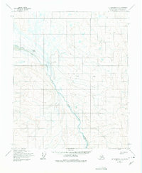
1973 · Mount Michelson C-5
USGS Topo · 1:63,360

1978 · Mount Michelson C-4
USGS Topo · 1:63,360
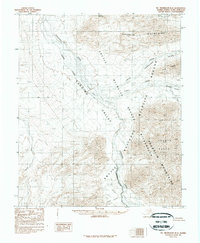
1983 · Mount Michelson B-4
USGS Topo · 1:63,360
2018 · Mount Michelson C-4 SW
USGS Topo · 1:25,000
2018 · Mount Michelson B-5 NE
USGS Topo · 1:25,000